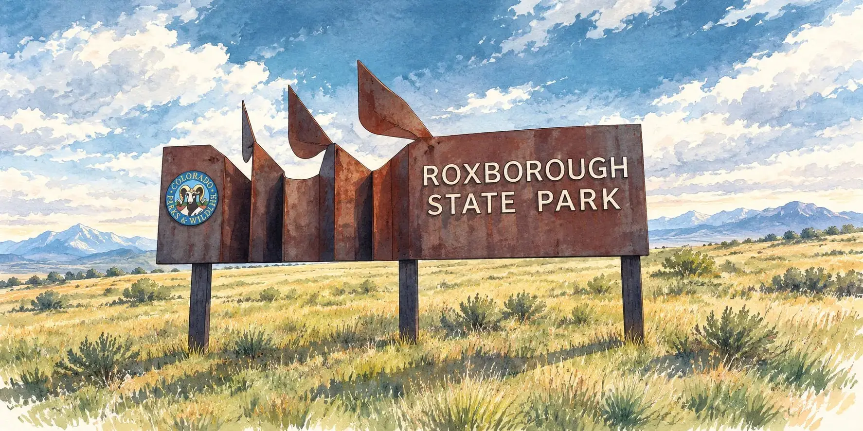
Sedalia and Roxborough Park
Red-rock fins, a state park next door and acreage living on the western edge of Douglas County.
Pricing trends
Roxborough Park and Ravenna homes price above the Douglas County average for their settings, and Sedalia's acreage properties range widely with land and water rights. Market figures for Sedalia appear in the Market Intelligence tables; Roxborough's sales are included with Littleton addresses.
| Sedalia, August 2026 | Median price | Homes sold | Days on market | Active listings |
|---|---|---|---|---|
| Single Family | $1,000,000+17.6% vs August 2025 | 5 | 39average days | 41 |
Citywide figures for Sedalia. Source: Local Market Update, August 2026, REcolorado data compiled by the Colorado Association of REALTORS®. Neighborhood-level figures vary; ask me for comparables on any specific home. See all area tables.
About Roxborough
Roxborough Park and Sedalia are the communities tucked against the foothills on Douglas County's western edge, where the red sandstone fins of the Fountain Formation break through the ground. Roxborough Park is a golf community surrounded by Roxborough State Park's rock formations; Sedalia is a crossroads village with ranches and acreage homes along the Plum Creek valley and the Pike National Forest. Both are for buyers who want the foothills without the mountain-pass commute.
Location
Roxborough Park lies south of Chatfield State Park at the end of Rampart Range Road and Titan Road, with Littleton and Ken Caryl to the north and Waterton Canyon beside it. Sedalia sits on Highway 85 between Castle Rock and Louviers, with the Jarre Canyon road leading into the national forest. Both are twenty-five to forty-five minutes from downtown Denver.
History and background
Sedalia
Where it sits. Sedalia is a small unincorporated community in northern Douglas County along U.S. Highway 85, about 8 miles from Castle Rock and 24 miles south of downtown Denver.
Sedalia began in 1859 when John H. Craig staked a claim and built a circular corral at the junction of East and West Plum creeks, a landmark along the First Territorial Road. People called the spot the Round Corral.
In 1869 a new owner renamed it Plum for the wild plum trees along the creeks. When the Denver & Rio Grande Railway came in the early 1870's, the stop became Plum Station, and the town of Plum was platted in 1873.
Meanwhile postmaster Henry Musick Clay opened the post office in 1872 and named it Sedalia for his hometown in Missouri. The railroad said Plum and the post office said Sedalia until the town was re-platted as Sedalia in 1882.
Why people like it. People like Sedalia for its historic railroad-town character along U.S. Highway 85, with older buildings, craft shops and local restaurants such as Bud's Bar and Gabriel's near the old rail line.
Fun fact. A flood in 1965 damaged or destroyed seven homes and three public buildings in Sedalia.
Market snapshot, August 2026
| Home type | Median price | Homes sold | Days on market |
|---|---|---|---|
| Single Family (small sample) | $1,000,000 | 5 | 39 |
Roxborough Park
Where it sits. Roxborough Park is an unincorporated community in southwestern Douglas County at the base of the Front Range, about 20 miles south of downtown Denver.
Henry Persse, pronounced 'purse', came to Colorado from New York in 1882 and bought this land south of Denver in 1889. He first called it Washington Park, after a rock formation that looks like George Washington's profile, then renamed it Roxborough Park after his family's estate in County Galway, Ireland.
He built a two-story stone house into a hillside in 1903, and in 1907 dreamed up a 200-room hotel, golf links and an electric train from Englewood. The grand resort never happened. Persse died in 1918.
In 1975 Colorado bought 500 acres of the family land, the start of Roxborough State Park, which today covers about 3,319 acres and has 40+ archaeological sites spanning 12,000 years.
Why people like it. People like Roxborough Park for its red rock formations and the Dakota hogback setting at the base of the foothills, Roxborough State Park trails, and the historic Persse stone house, reached by a 1.1-mile hike.
Fun fact. Roxborough Park was first named Washington Park for a rock formation that resembles George Washington's profile.
Sources and caveats for this history
Housing and architecture
Roxborough Park holds 1980s to current custom homes on half-acre and larger lots among the rocks, with the Arrowhead golf course at its center and newer sections in Roxborough Village and Ravenna, a gated golf community. Sedalia's homes are ranches and custom houses on two- to thirty-five-acre parcels, with historic houses in the village itself and the Perry Park golf community to the south.
Parks and recreation
Roxborough State Park's trails among the red rocks, Waterton Canyon's trail along the South Platte, Chatfield State Park and the Colorado Trail's eastern trailhead are all at the door. Arrowhead and Ravenna have golf, and the Pike National Forest's roads and trails open from Sedalia.
Dining, shopping and daily life
Roxborough has a small village center with a grocery and a few services; Sedalia has the Sedalia Grill, a post office and a general store. Larger shopping is in Littleton, at Ken Caryl or in Castle Rock. The Douglas County School District serves both communities.
Nearby
Other nearby communities
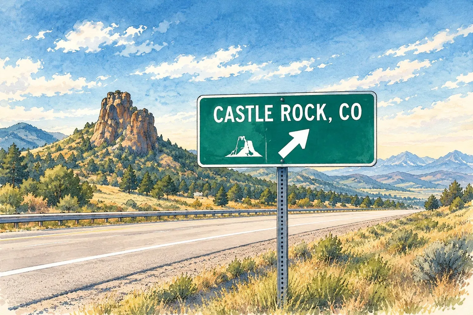 Douglas and Elbert Counties Castle Rock The county seat under its namesake butte, with a historic downtown, the outlets and the metro's fastest-growing new neighborhoods.
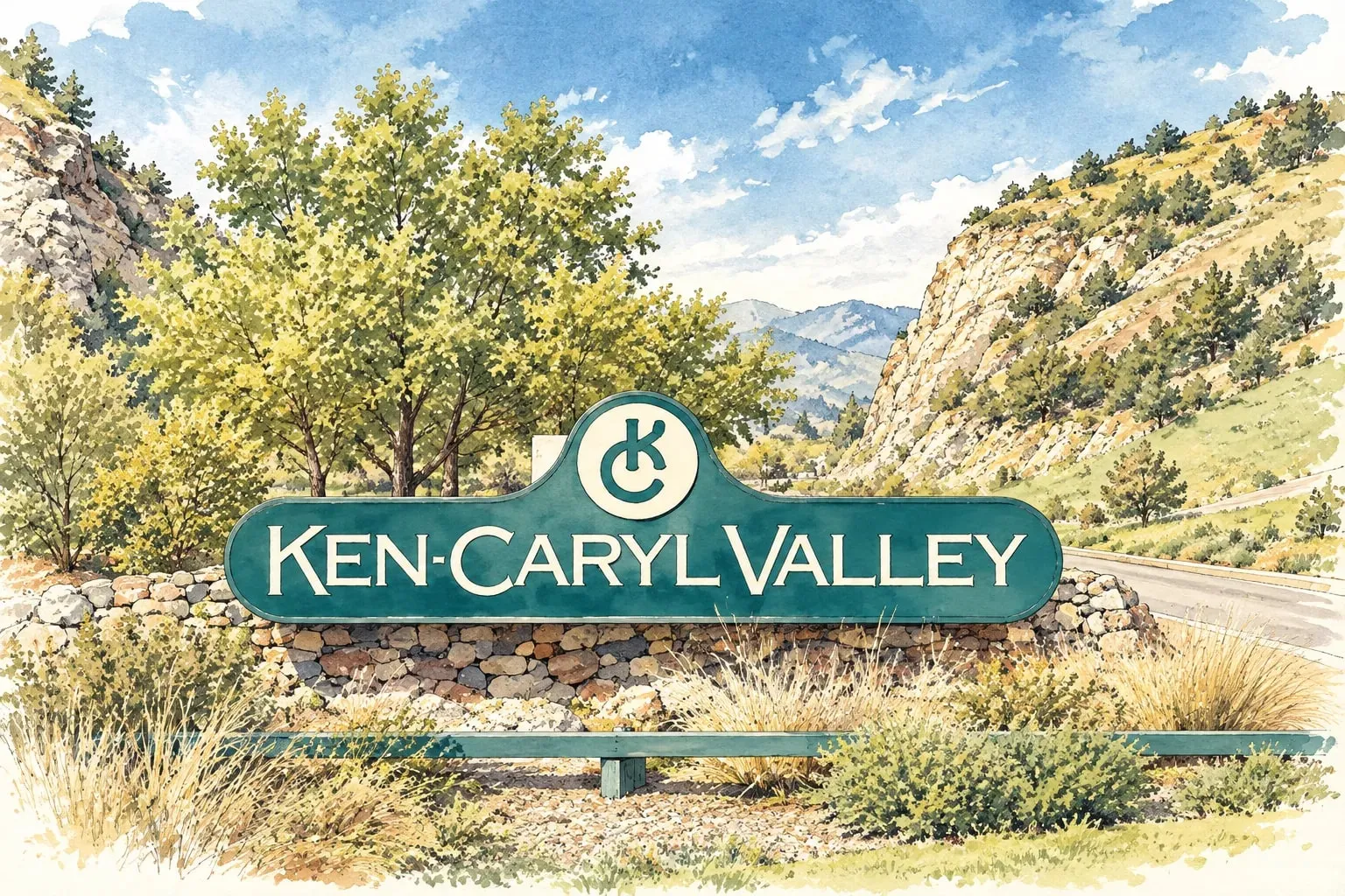 South Central Ken Caryl A planned community at the foot of the hogback, with its own valley, trails and a working ranch history.
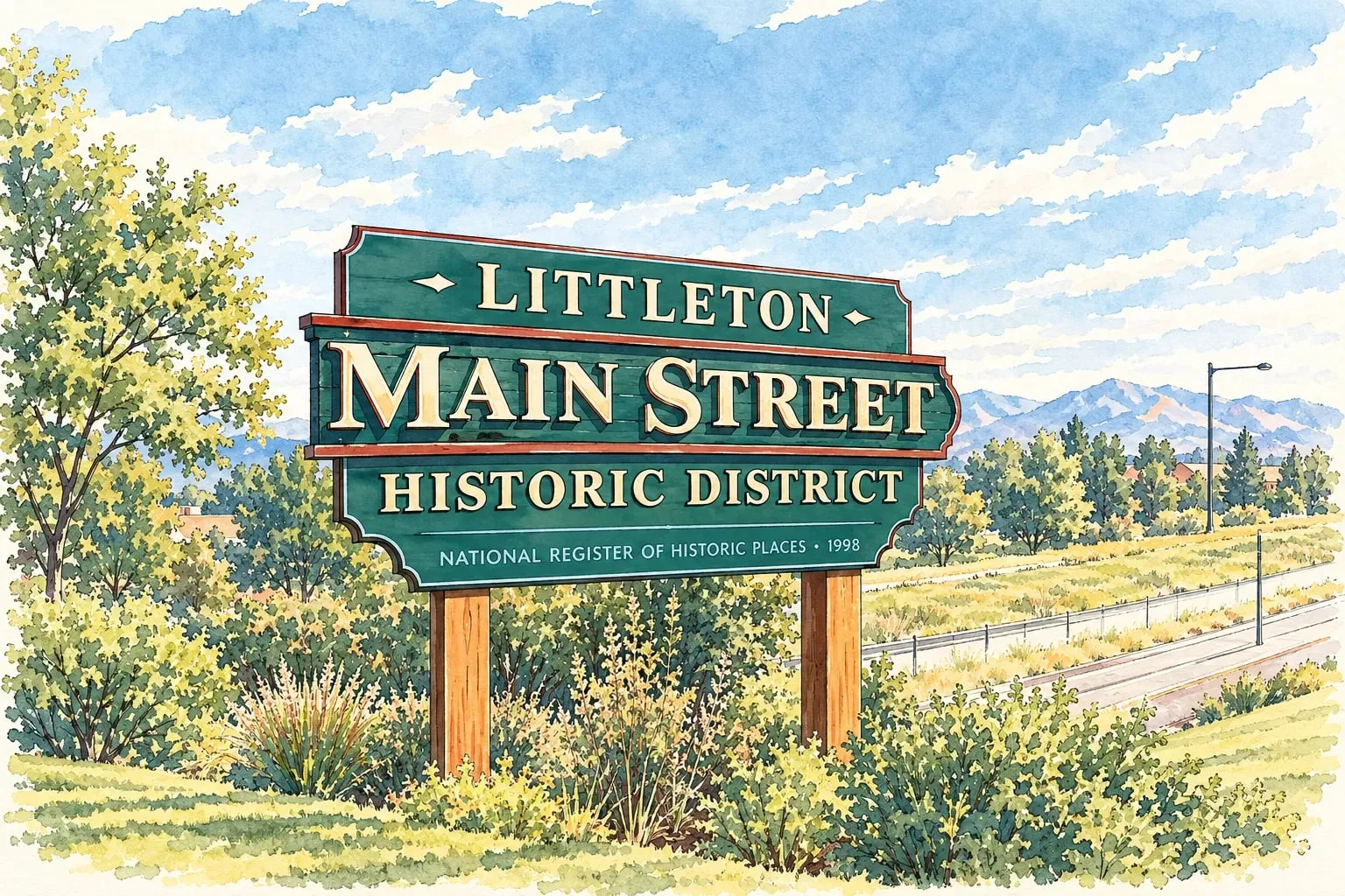 South Central Littleton A real downtown on Main Street, the Platte River trails, and neighborhoods from Victorian to brand new.
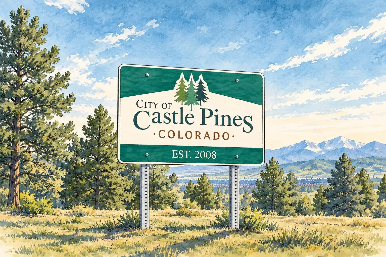 Douglas and Elbert Counties Castle Pines and Castle Pines Village Pine-covered ridges between Lone Tree and Castle Rock, with gated golf communities and newer family neighborhoods.
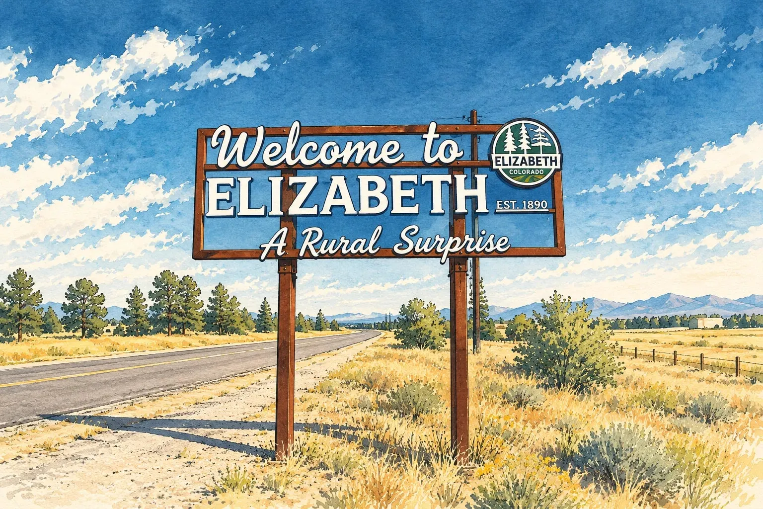 Douglas and Elbert Counties Elizabeth and Elbert County Acreage, pines and quiet, forty minutes from the Tech Center.
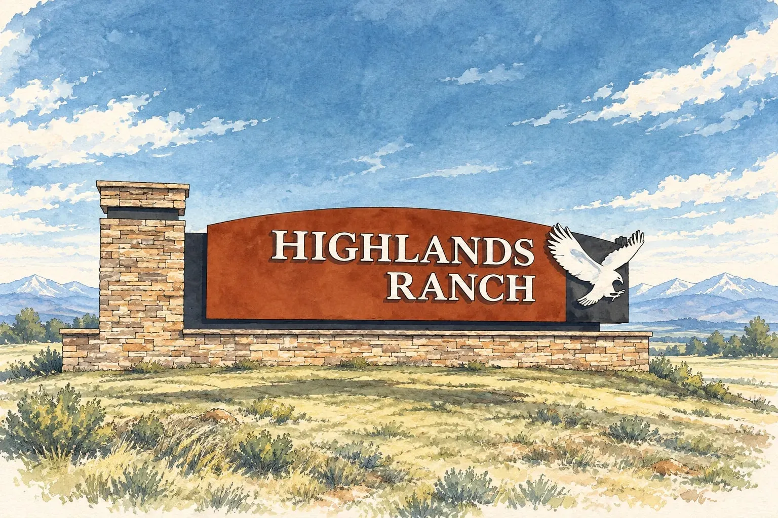 Douglas and Elbert Counties Highlands Ranch The metro's largest master-planned community: four recreation centers, 70 miles of trails and a backcountry.
Let’s talk about Roxborough
Tell me what you are looking for in Roxborough
Share your timing and what matters most, and I will come back with homes, comparables and an honest read on the market.
Geoffry Kaatz
Real Estate Consultant and Licensed Realtor


303-517-9671
geoffry.kaatz@compass.com
200 Columbine St, Suite 500
Denver, CO 80206