Community guides
106 neighborhoods and towns, region by region
Every guide covers the housing and architecture, the parks, the shopping and dining, where prices sit against the rest of the metro, and the Nest Team homes for sale there. Start with the Explore Denver map if you want the big picture first.
Douglas and Elbert Counties
Read the Douglas and Elbert Counties area guide
 Douglas and Elbert Counties Castle Pines and Castle Pines Village Pine-covered ridges between Lone Tree and Castle Rock, with gated golf communities and newer family neighborhoods.
 Douglas and Elbert Counties Castle Rock The county seat under its namesake butte, with a historic downtown, the outlets and the metro's fastest-growing new neighborhoods.
 Douglas and Elbert Counties Elizabeth and Elbert County Acreage, pines and quiet, forty minutes from the Tech Center.
 Douglas and Elbert Counties Highlands Ranch The metro's largest master-planned community: four recreation centers, 70 miles of trails and a backcountry.
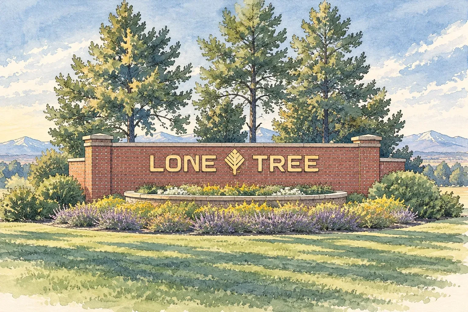 Douglas and Elbert Counties Lone Tree Park Meadows, the end of the light rail line, golf-course neighborhoods and the newest homes at RidgeGate.
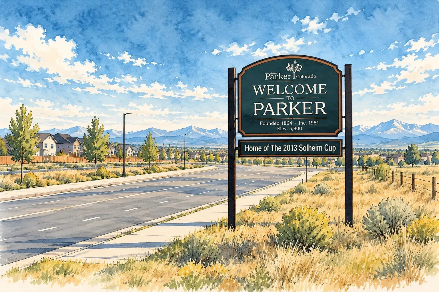 Douglas and Elbert Counties Parker A western main street, Cherry Creek's trail, and new neighborhoods spreading across the Douglas County hills.
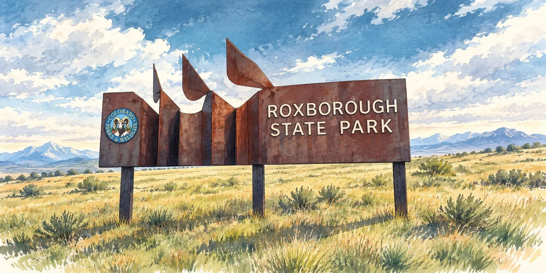 Douglas and Elbert Counties Sedalia and Roxborough Park Red-rock fins, a state park next door and acreage living on the western edge of Douglas County.
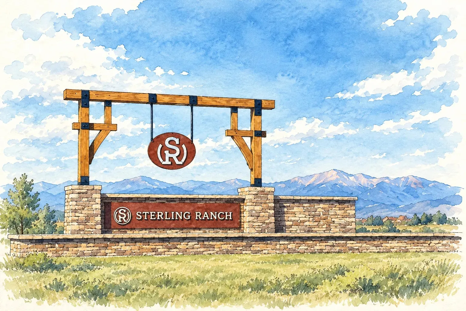 Douglas and Elbert Counties Sterling Ranch and Louviers The metro's newest master-planned community beside Chatfield and Waterton Canyon, and the 1908 company town next door.
Downtown Denver
Read the Downtown Denver area guide
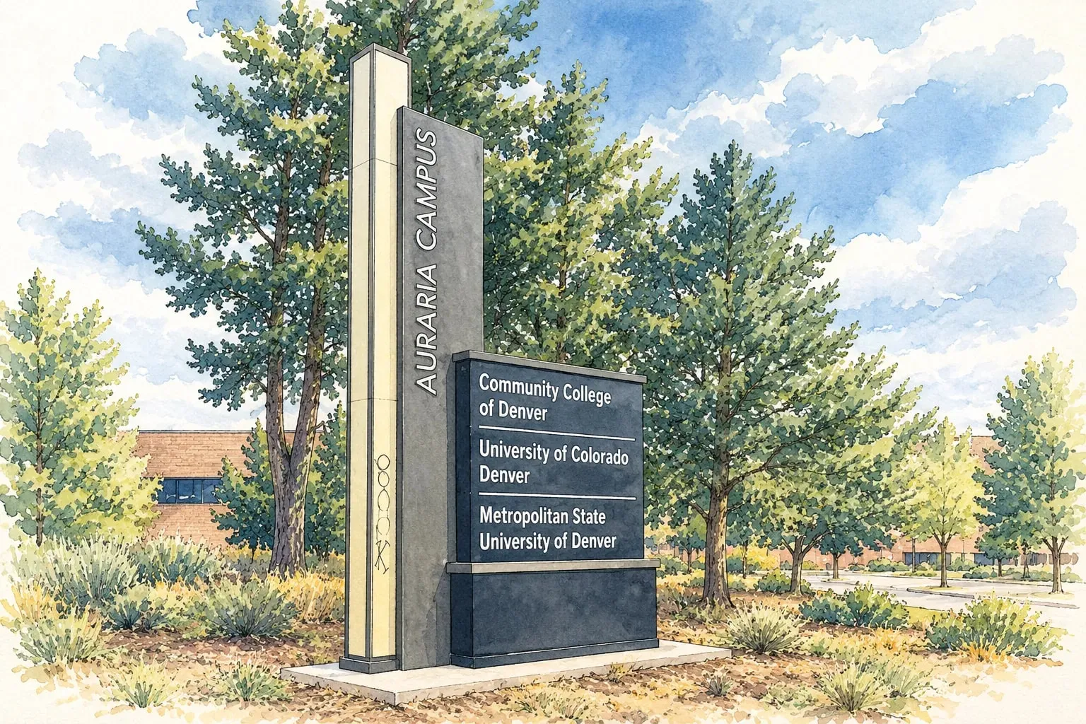 Downtown Denver Auraria The city's birthplace, now a three-college campus, Ball Arena and the stadium district between the creek and the river.
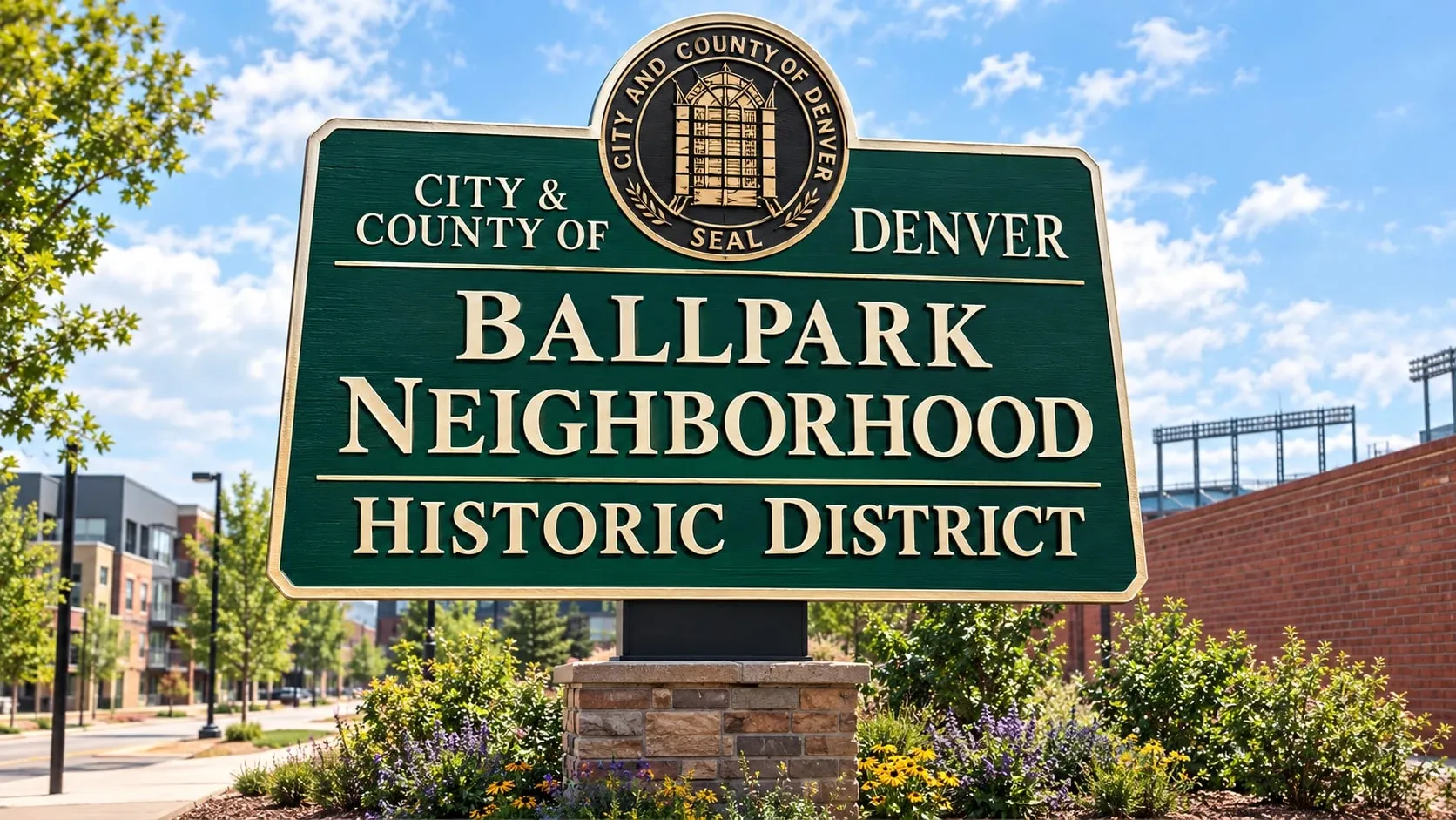 Downtown Denver Ballpark Coors Field's back yard, where old brick and new mid-rises meet the edge of RiNo.
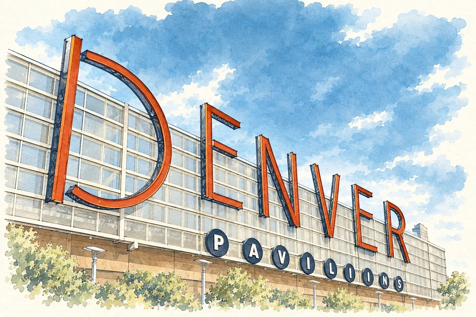 Downtown Denver Central Business District The office towers, the 16th Street Mall and a growing number of homes in converted and new high-rises.
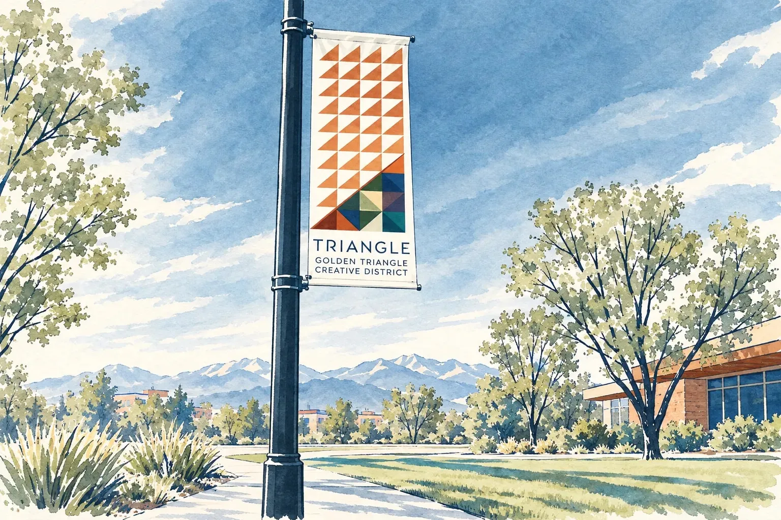 Downtown Denver Golden Triangle and Civic Center The museum district: condominiums and townhomes wedged between the Capitol, the art museum and Speer.
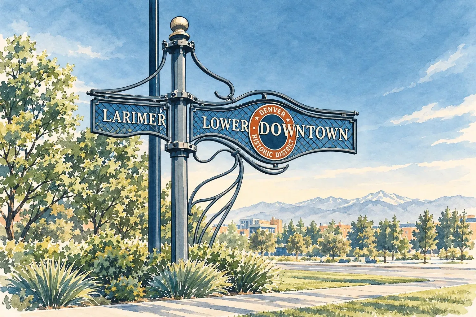 Downtown Denver LoDo and Union Station Brick warehouses turned lofts, the city's train hall, and the most walkable blocks in Colorado.
East Metro
Read the East Metro area guide
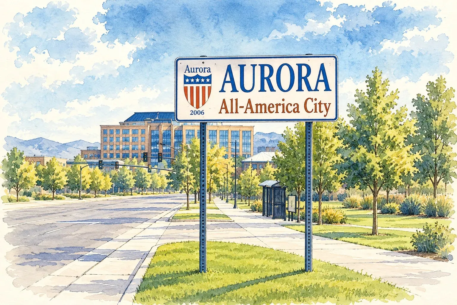 East Metro Aurora Colorado's third-largest city, with the metro's biggest medical campus, its best-value homes and the reservoir on the south side.
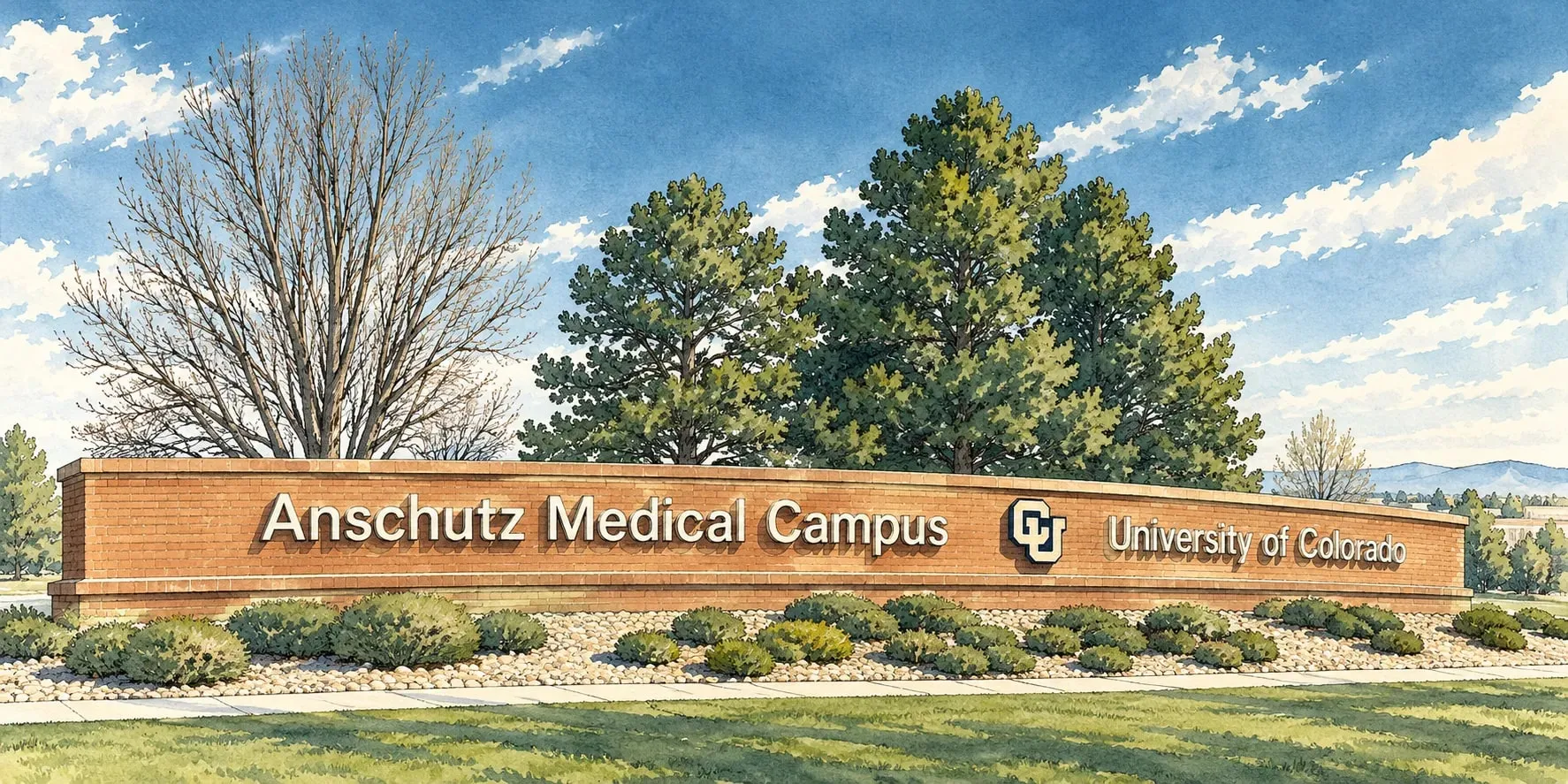 East Metro Original Aurora and the Anschutz Campus Aurora's historic core along Colfax, the Stanley Marketplace, and the medical campus that employs 25,000 people.
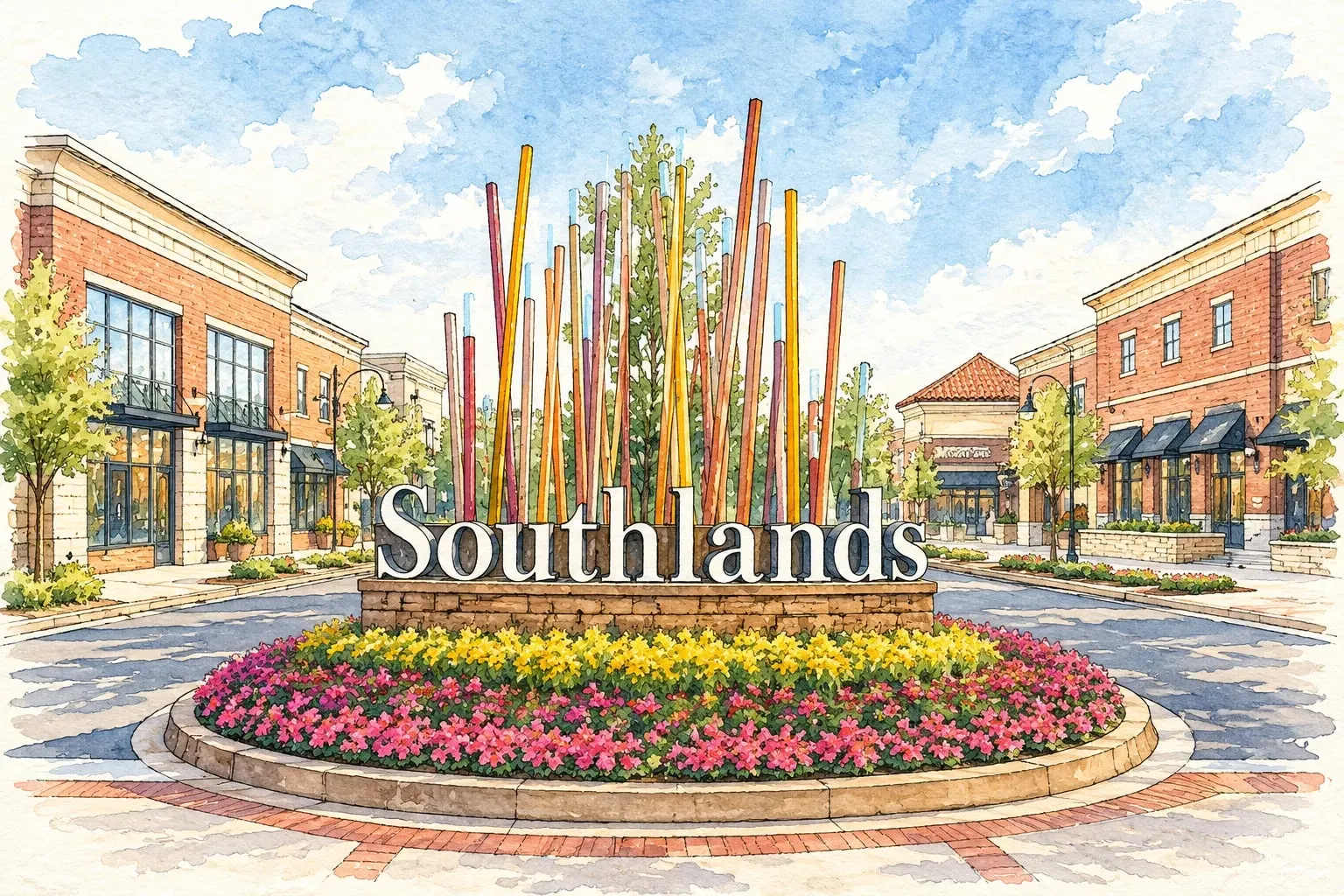 East Metro Southeast Aurora Southlands, the Cherry Creek schools and the newest neighborhoods on the metro's eastern prairie.
Mountain Communities
Read the Mountain Communities area guide
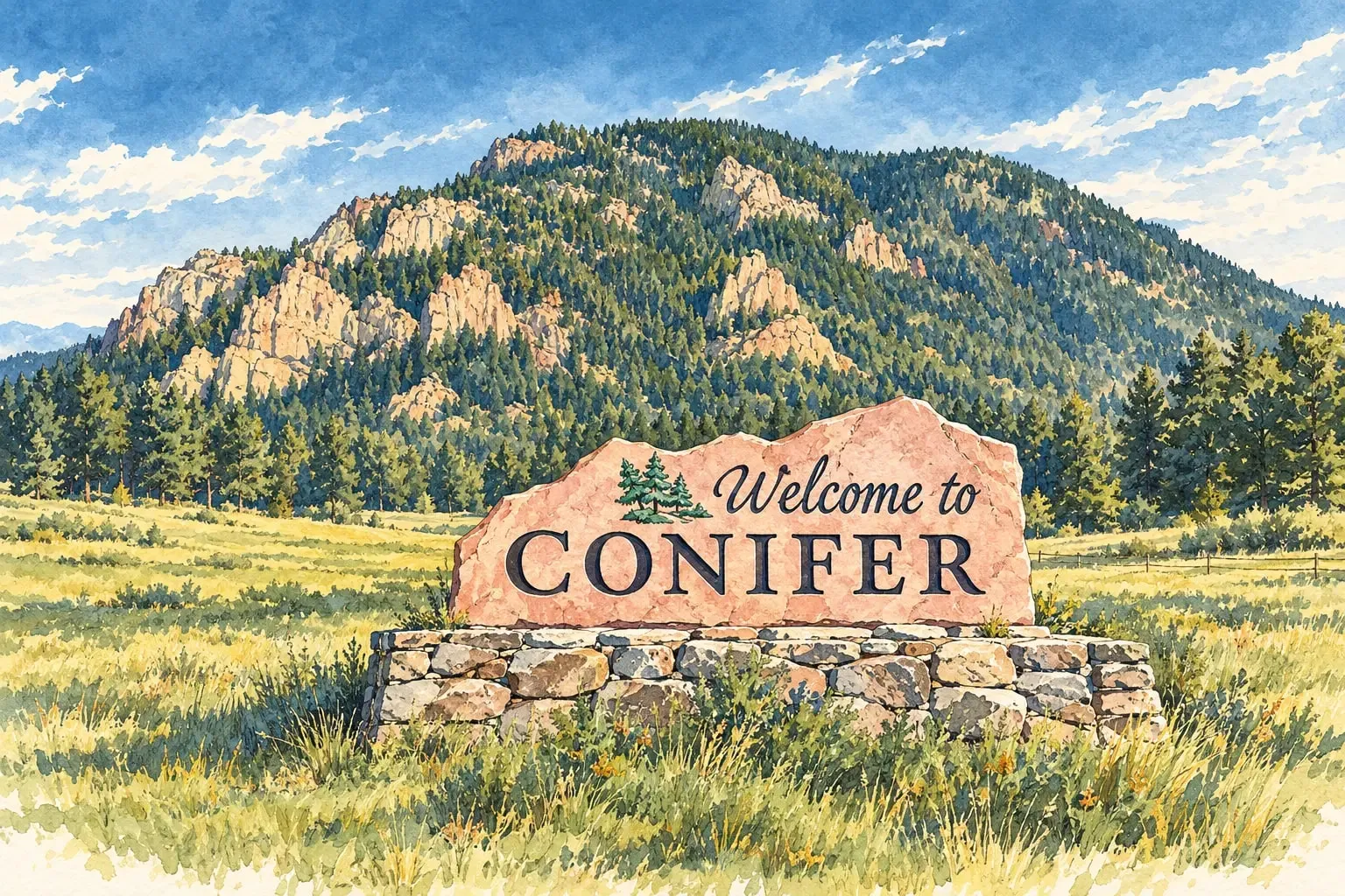 Mountain Communities Conifer and Pine Acreage, aspen groves and the Highway 285 corridor, where Denver's mountain commute stretches to 8,000 feet.
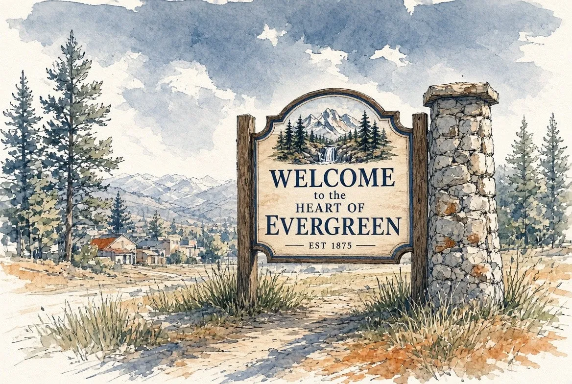 Mountain Communities Evergreen A mountain town with a lake at its center, elk in the meadows and a thirty-five-minute drive to downtown.
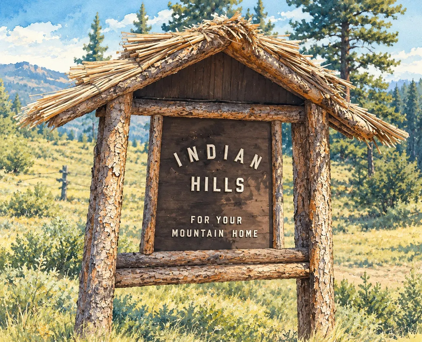 Mountain Communities Indian Hills and Kittredge The closest true mountain neighborhoods to Denver, in the canyons between Morrison and Evergreen.
North Metro
Read the North Metro area guide
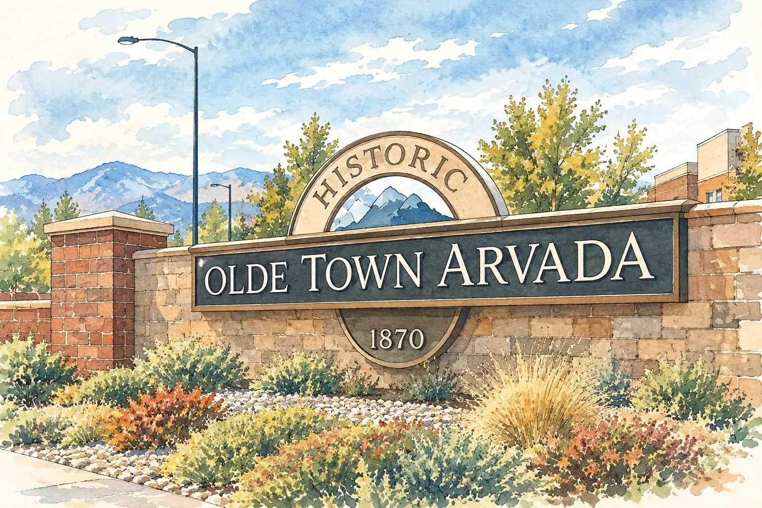 North Metro Arvada Olde Town's brick main street and rail station, mid-century neighborhoods, and new homes toward the foothills.
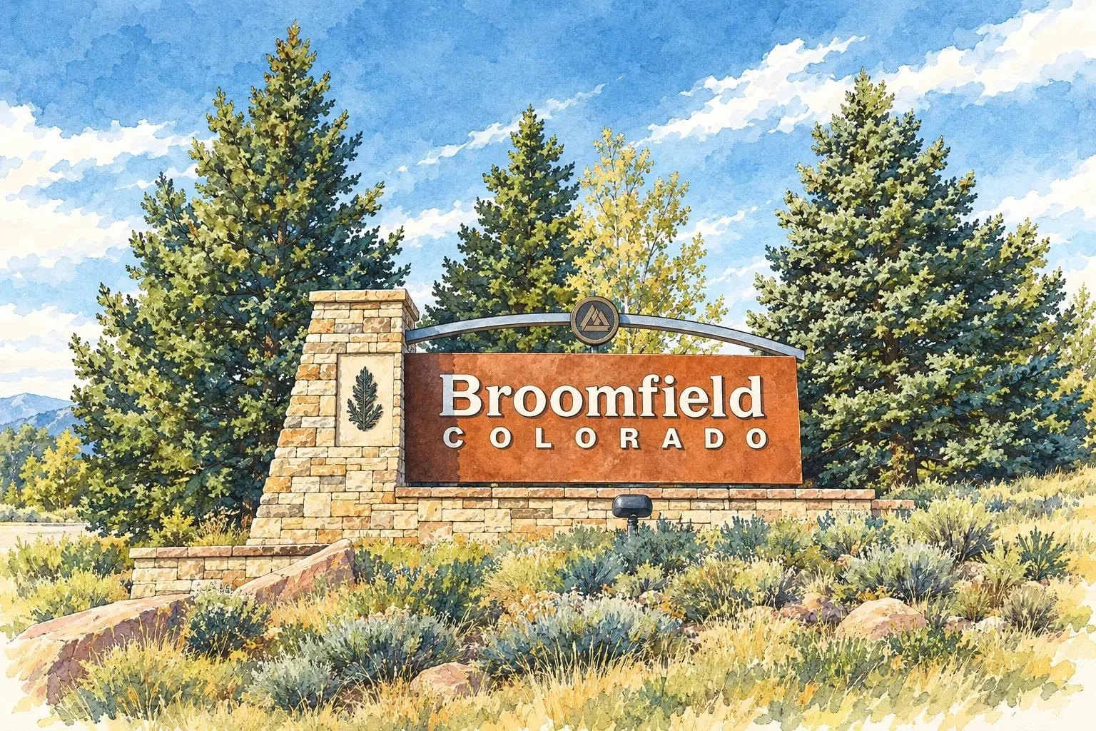 North Metro Broomfield Its own city and county between Denver and Boulder, with the Interlocken business park and Flatirons views.
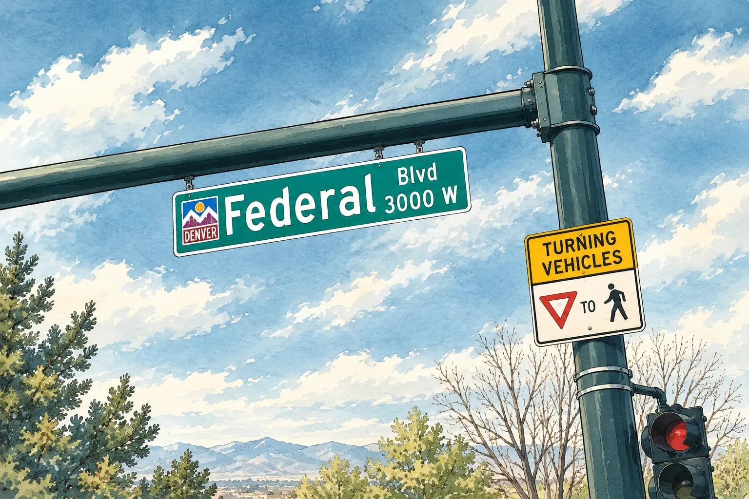 North Metro Federal Heights A two-square-mile city on Federal Boulevard with Water World, small ranches and the metro's most attainable homes.
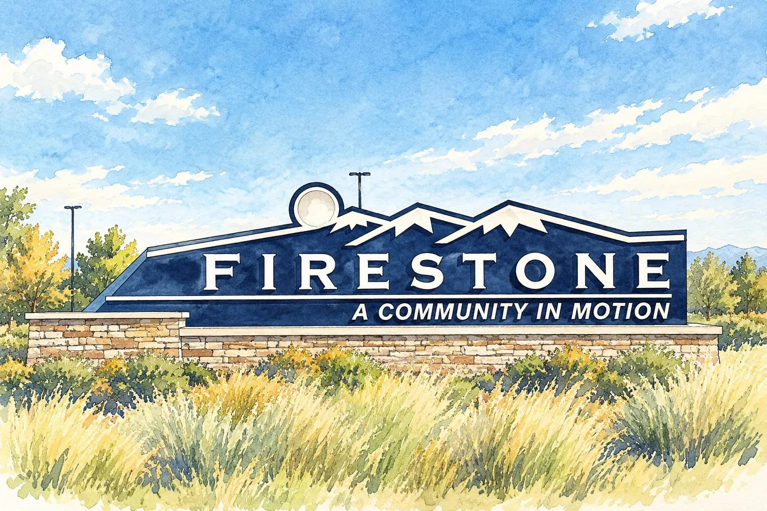 North Metro Firestone and Barefoot Lakes A former coal town turned lake community, between I-25 and the St. Vrain, with Longmont and Boulder close by.
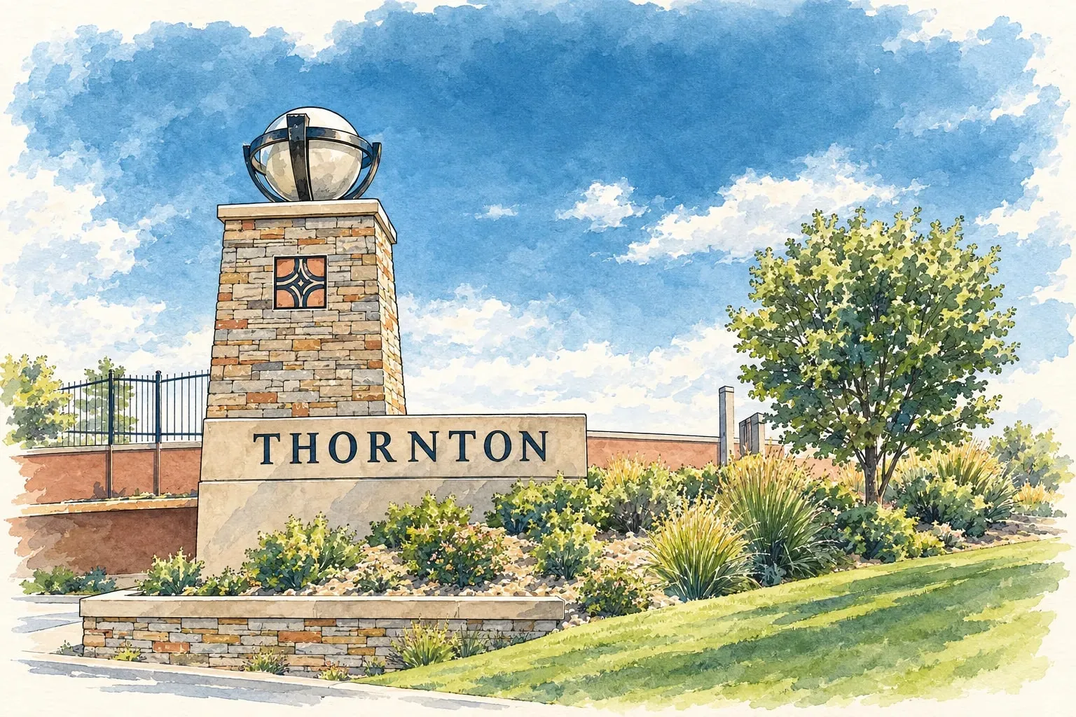 North Metro Thornton and Northglenn The north metro's growth corridor along Interstate 25: post-war ranches, new subdivisions and the N Line.
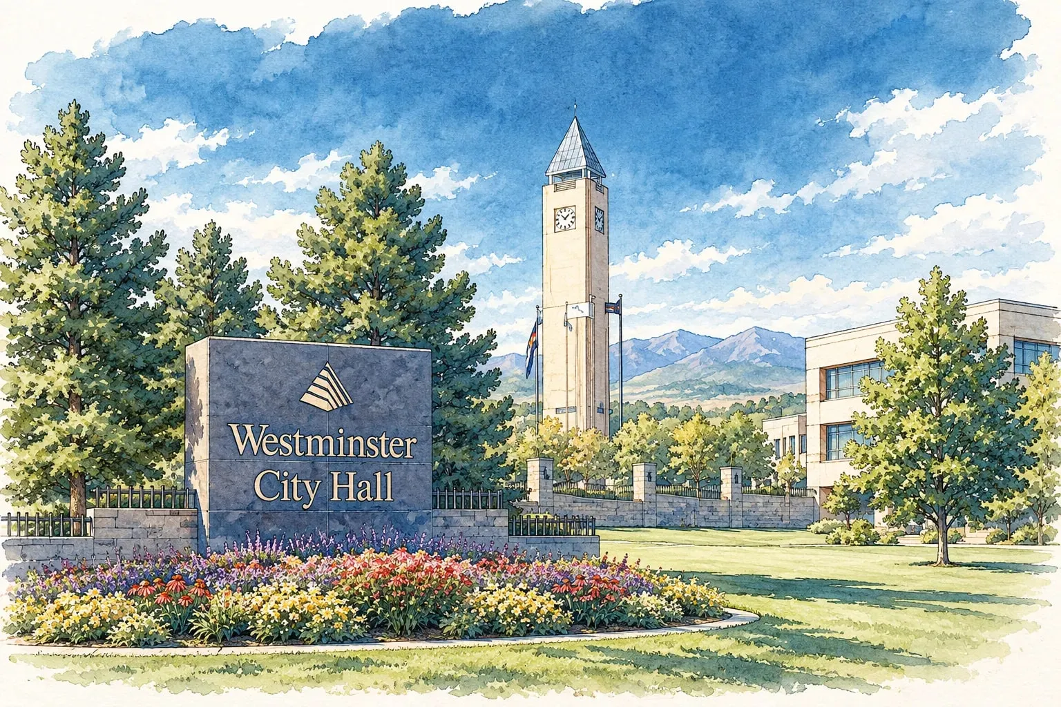 North Metro Westminster Standley Lake, the Westminster Promenade and a new downtown rising where the mall used to be.
Northeast Denver
Read the Northeast Denver area guide
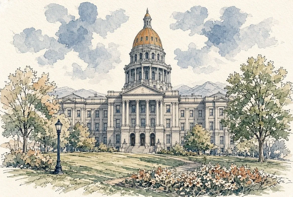 Northeast Denver Capitol Hill and Cheesman Park Denver's densest, oldest and most walkable neighborhood, with mansions, condos and a marble pavilion in the park.
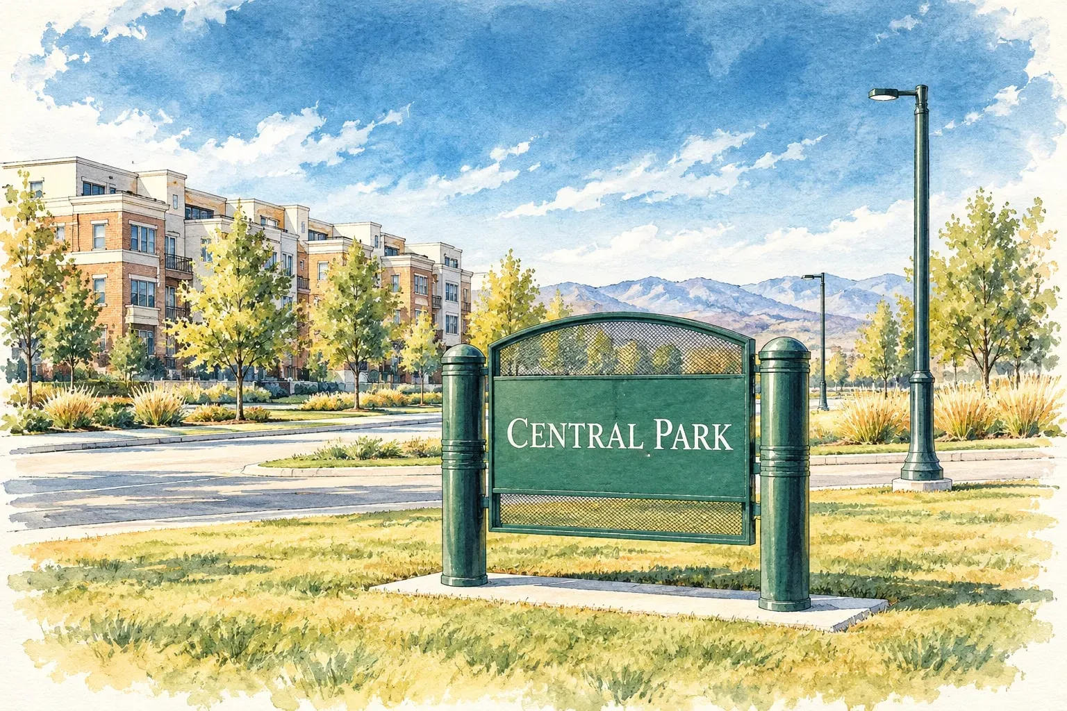 Northeast Denver Central Park The old airport, rebuilt since 2002 as Denver's largest new-urbanist neighborhood.
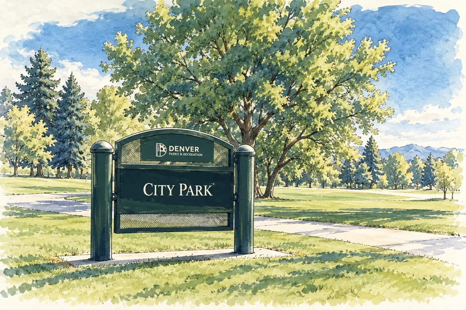 Northeast Denver City Park Denver's largest park and the blocks of grand houses along its 17th Avenue parkway edge.
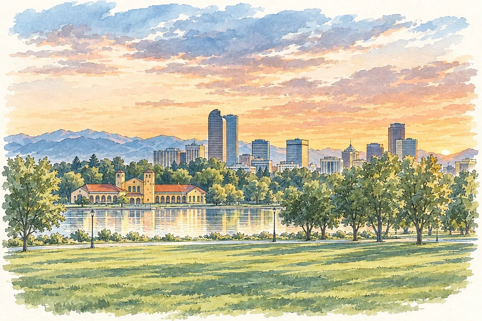 Northeast Denver City Park West and Uptown Restaurant Row on 17th Avenue, hospital campuses, and Victorian blocks between downtown and City Park.
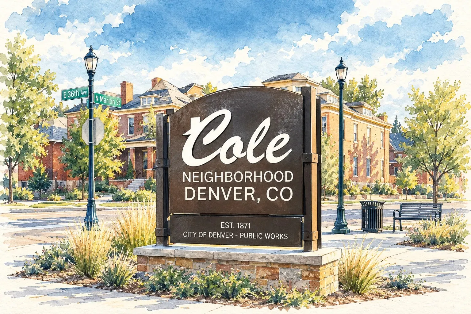 Northeast Denver Cole and Clayton Bungalow blocks north of City Park between RiNo and Park Hill, with the A Line and a fast-changing York Street.
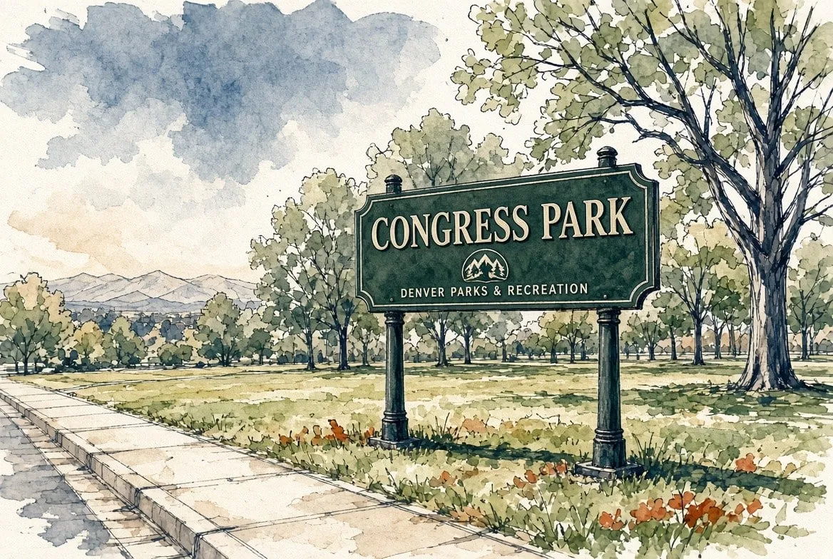 Northeast Denver Congress Park Denver Squares and bungalows on quiet blocks between Cheesman Park and the Botanic Gardens.
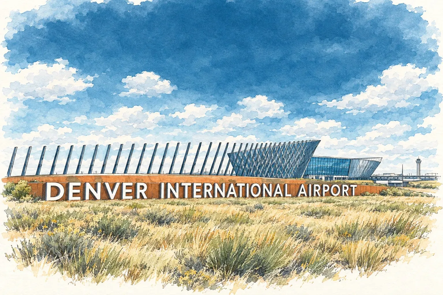 Northeast Denver DIA and Peña Station The airport's 53 square miles, and the new neighborhoods growing along Peña Boulevard and the A Line at its edge.
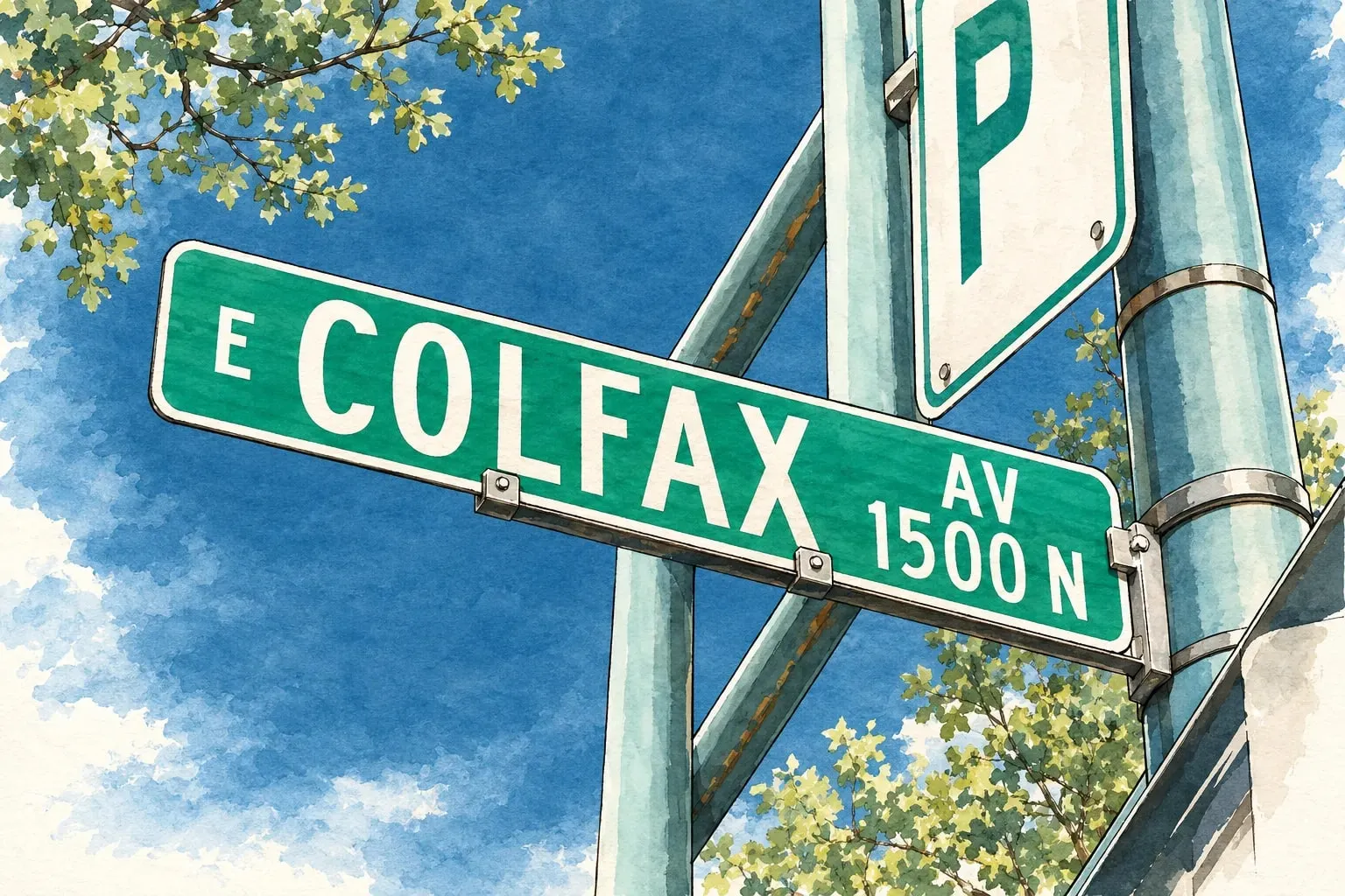 Northeast Denver East Colfax Denver's easternmost Colfax blocks: post-war homes, a global restaurant strip and some of the city's lowest prices.
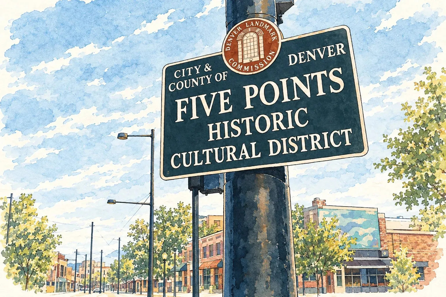 Northeast Denver Five Points and RiNo Denver's historic Black cultural district beside the warehouse blocks that became the River North Art District.
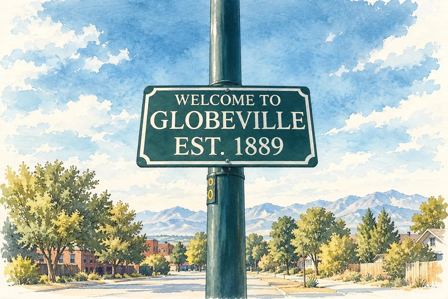 Northeast Denver Globeville and Elyria-Swansea The old smelter and stockyard neighborhoods along the river, remade by the National Western Center and the new I-70.
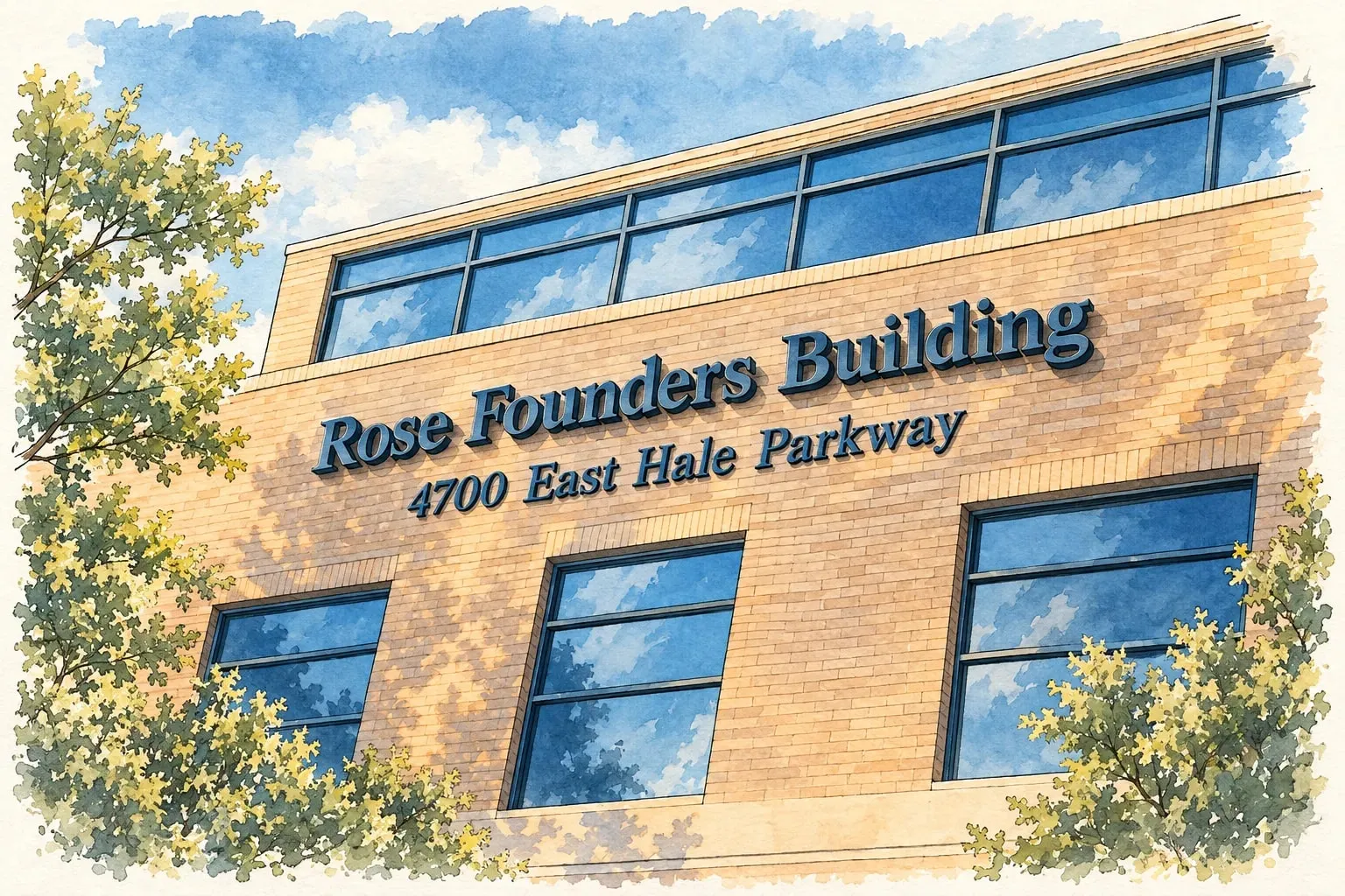 Northeast Denver Hale The 9th and Colorado district, Rose Medical Center and 1920s to 1950s homes between Congress Park and Montclair.
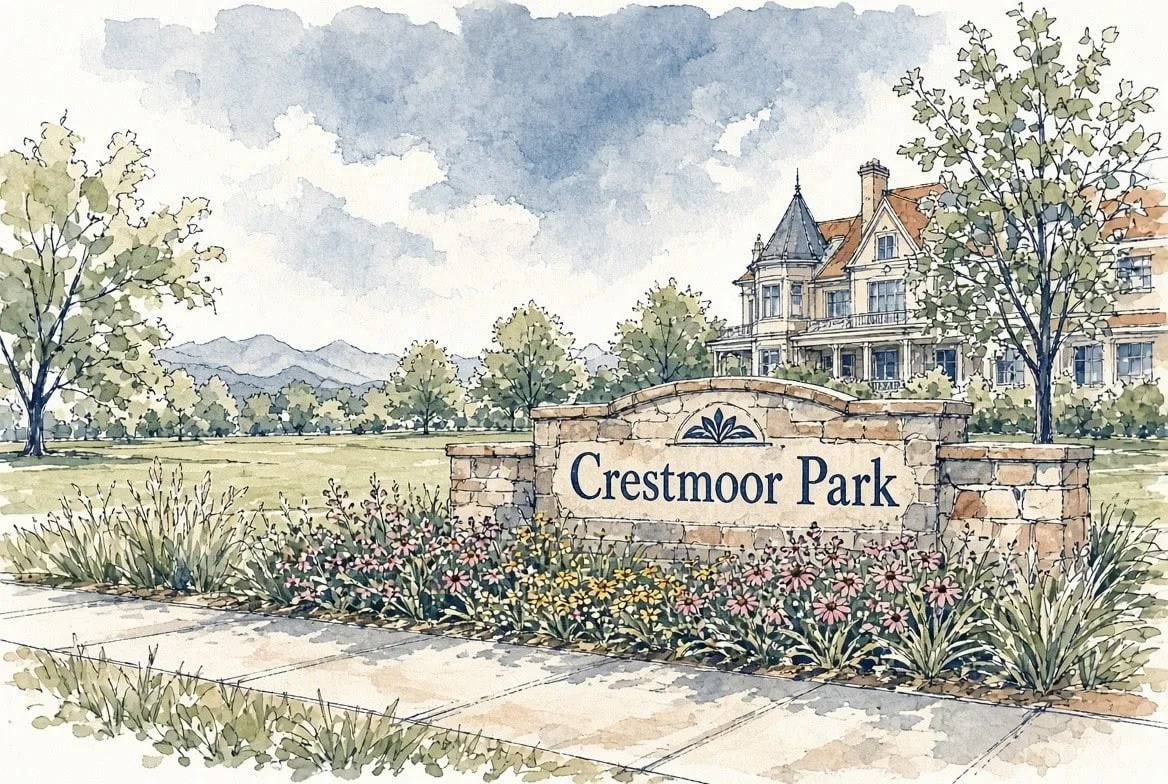 Northeast Denver Hilltop and Crestmoor Large lots, Cranmer Park's mountain view, and some of the biggest new homes inside the city limits.
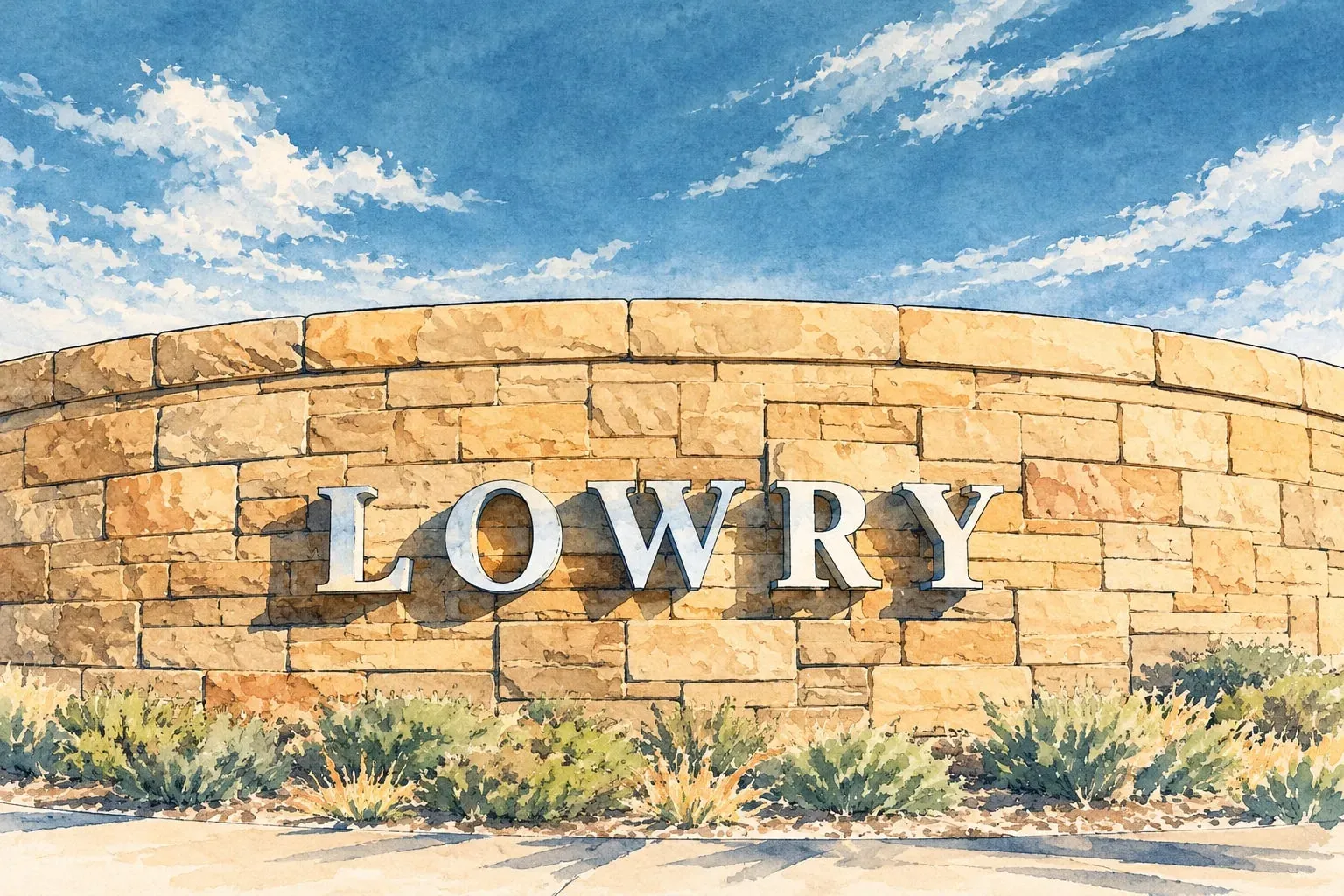 Northeast Denver Lowry A former Air Force base turned into parks, a town center and a mix of homes close to Cherry Creek.
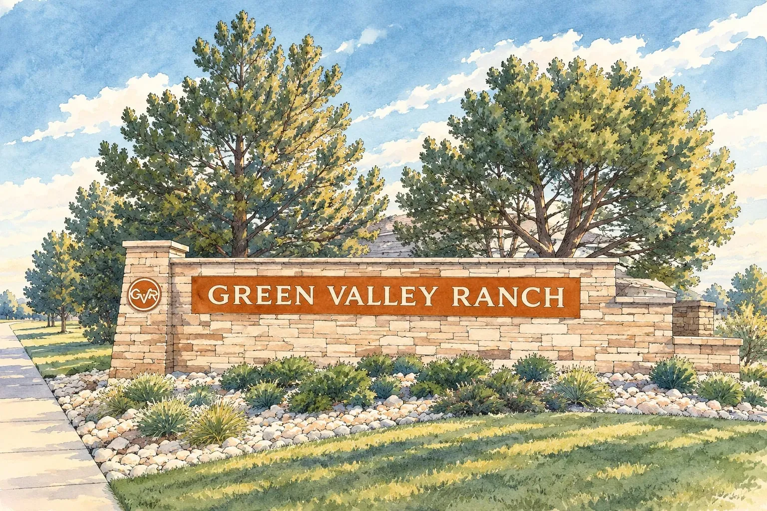 Northeast Denver Montbello and Green Valley Ranch Denver's far northeast: 1970s ranches in Montbello, 1990s to new homes in Green Valley Ranch, and the airport next door.
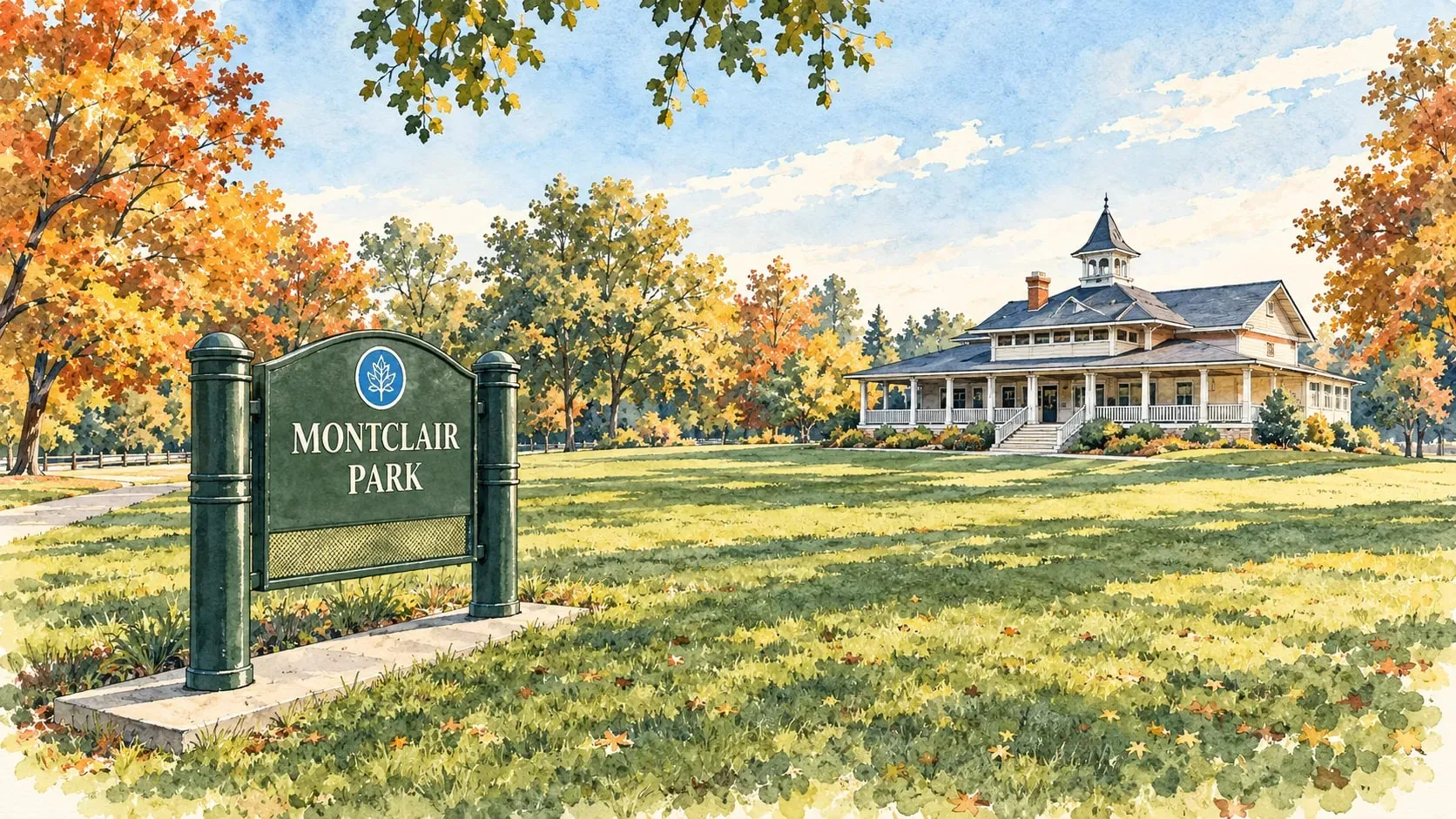 Northeast Denver Montclair and Mayfair Two quiet east-side neighborhoods of brick Tudors and ranches between Colfax and Lowry, with a nineteenth-century town at their center.
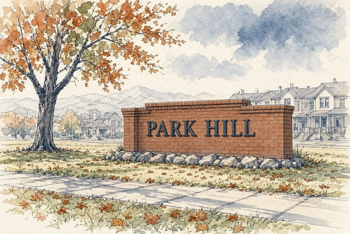 Northeast Denver Park Hill Tree-lined parkways, a hundred years of architecture, and a neighborhood that organizes itself.
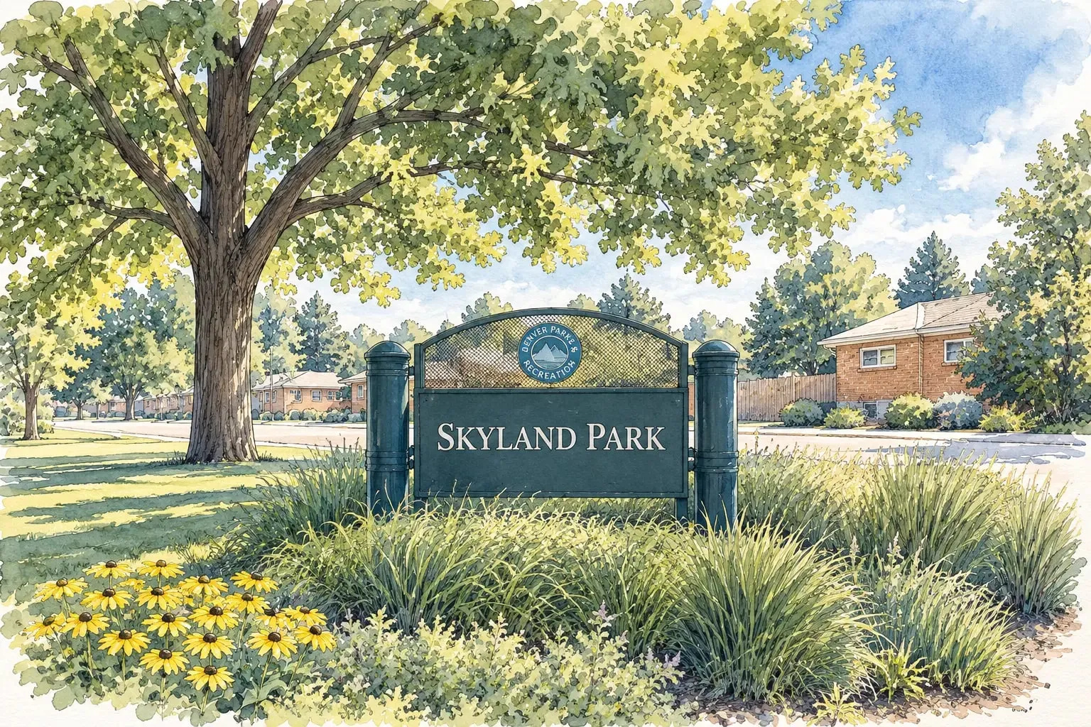 Northeast Denver Skyland A small neighborhood of mid-century brick homes beside City Park Golf Course and the new Park Hill open space.
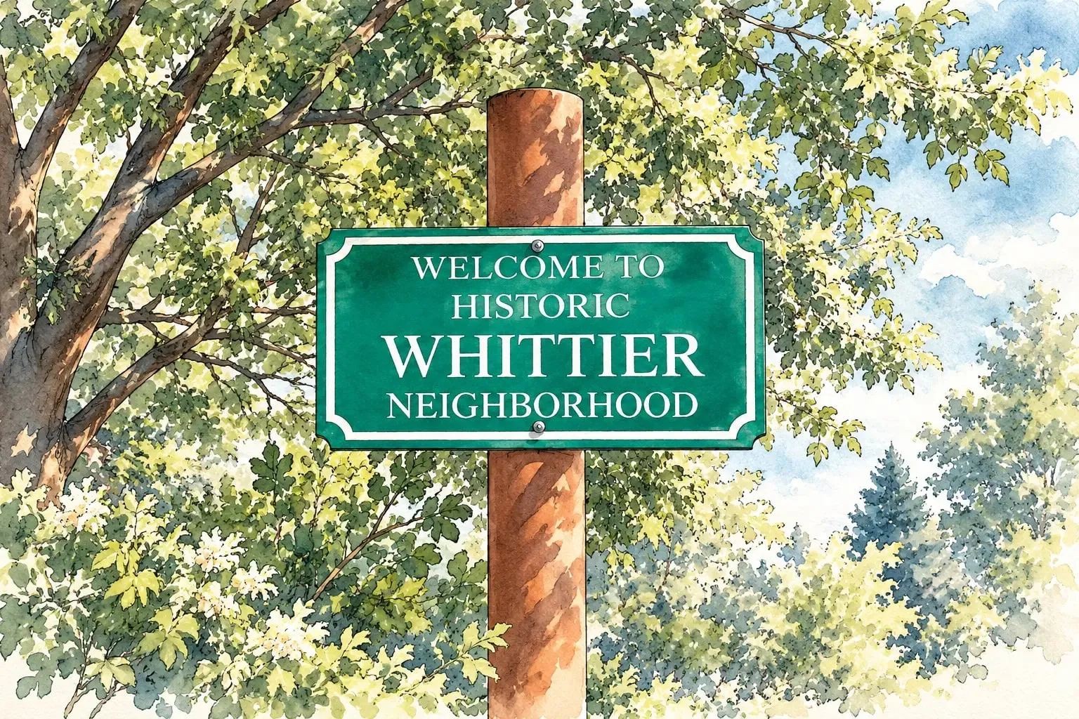 Northeast Denver Whittier Brick bungalows and Denver Squares on quiet streets between Five Points and City Park.
Northeast Metro
Read the Northeast Metro area guide
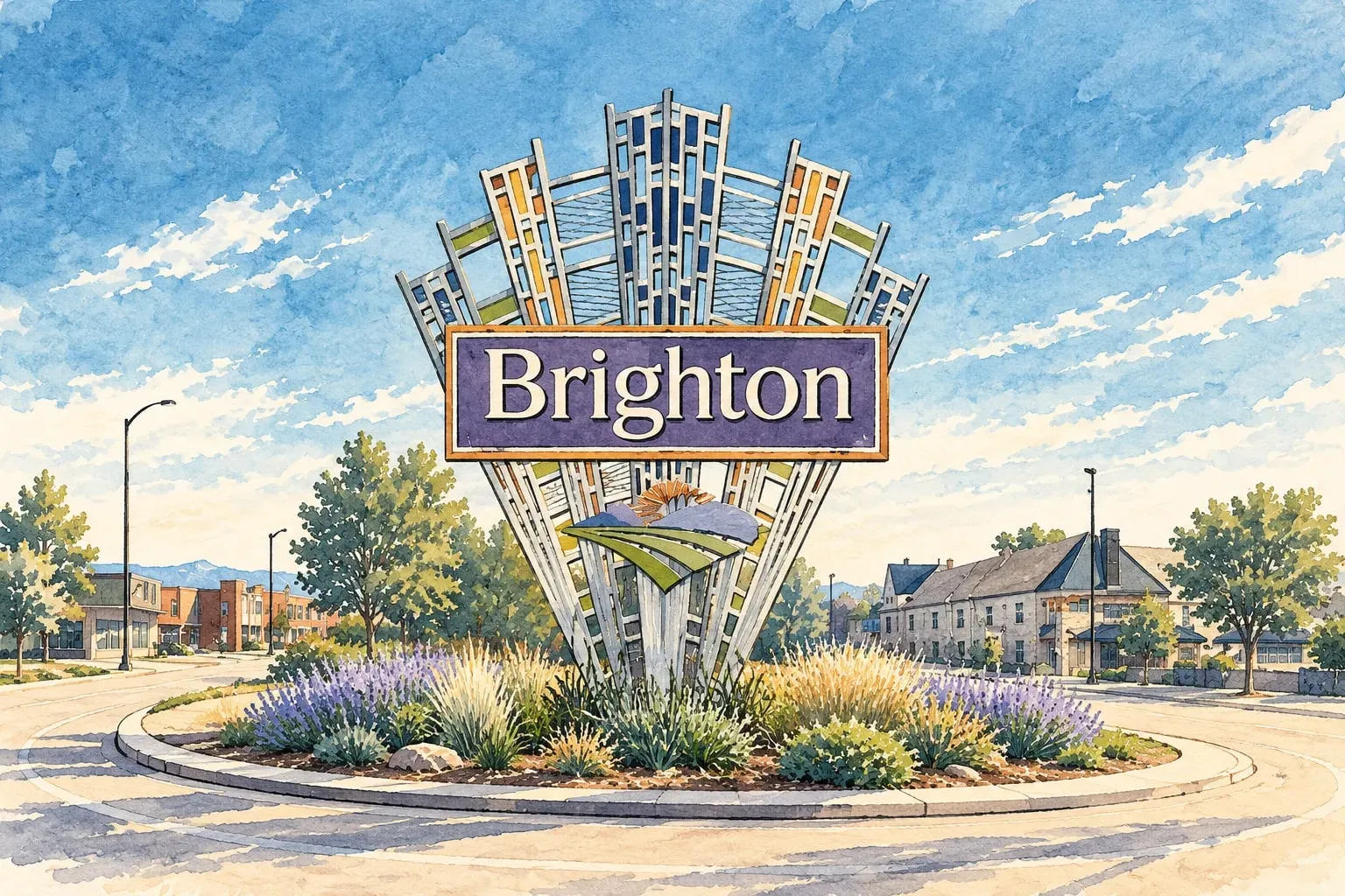 Northeast Metro Brighton Adams County's seat, a farm town turned suburb with a historic downtown, Barr Lake and new neighborhoods on three sides.
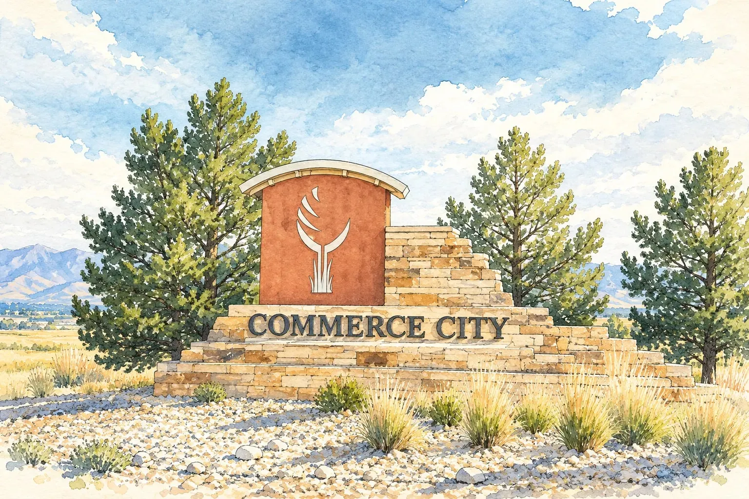 Northeast Metro Commerce City and Reunion The old industrial city by the refinery and the new neighborhoods of Reunion and Buffalo Run beyond the Arsenal.
Northwest Corridor
Read the Northwest Corridor area guide
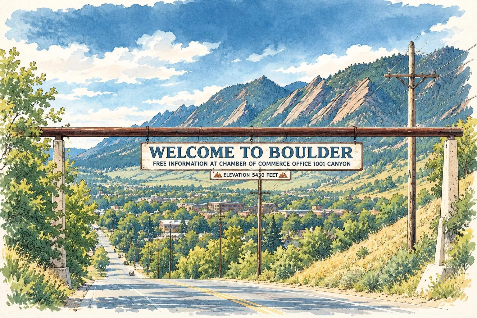 Northwest Corridor Boulder The Flatirons, the university, Pearl Street and the most expensive housing market on the Front Range.
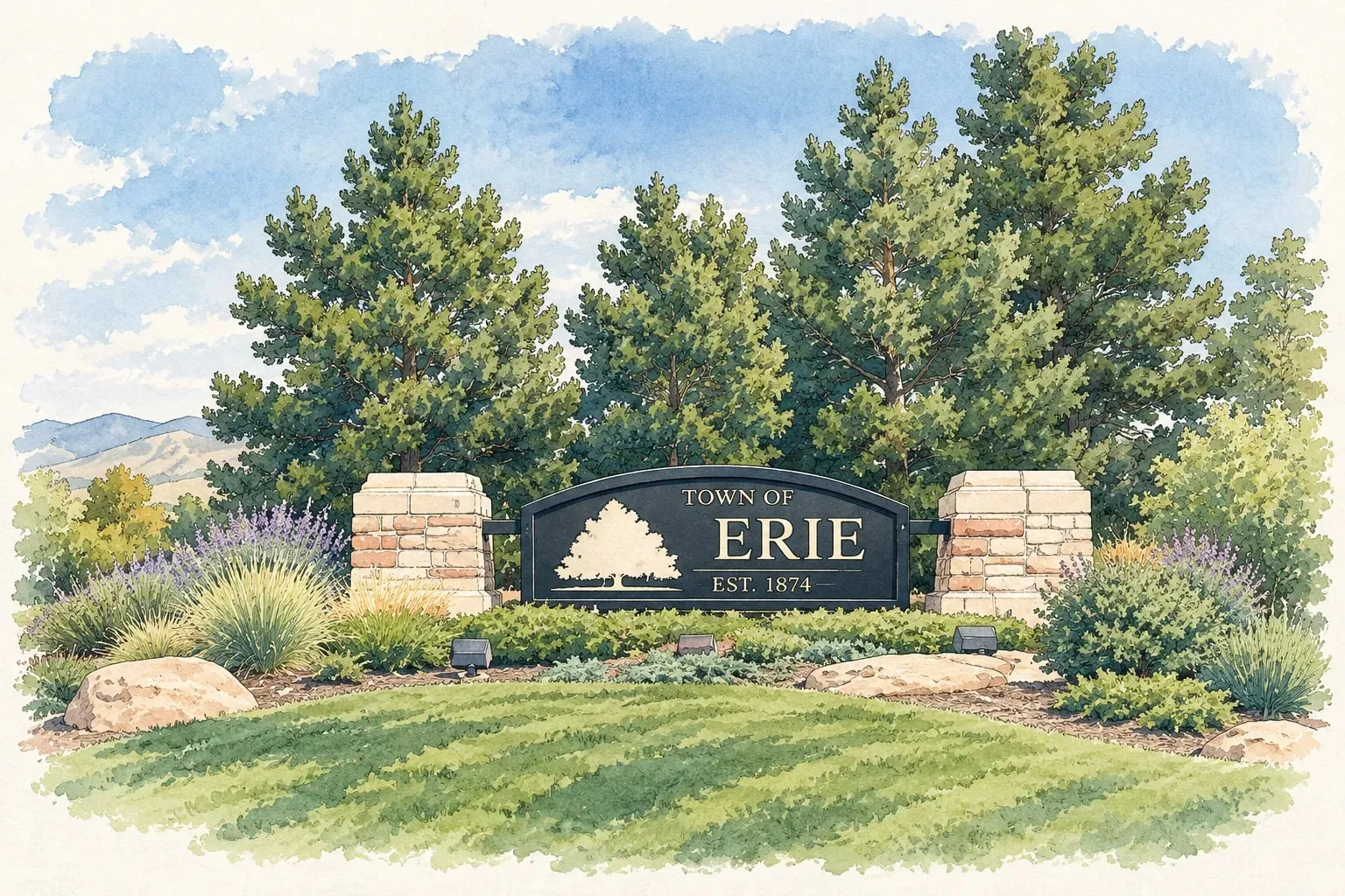 Northwest Corridor Erie A former coal town between Lafayette and I-25 that became one of the fastest-growing suburbs on the Front Range.
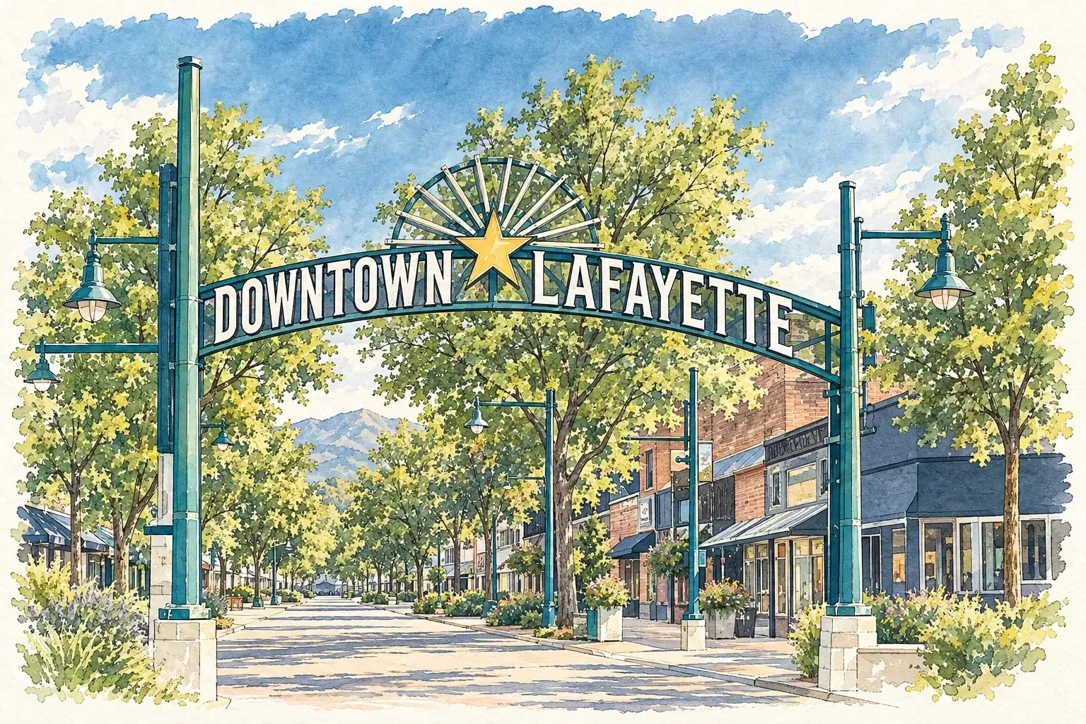 Northwest Corridor Lafayette Old Town's Public Road, Waneka Lake, and the most approachable prices in the Boulder County corridor.
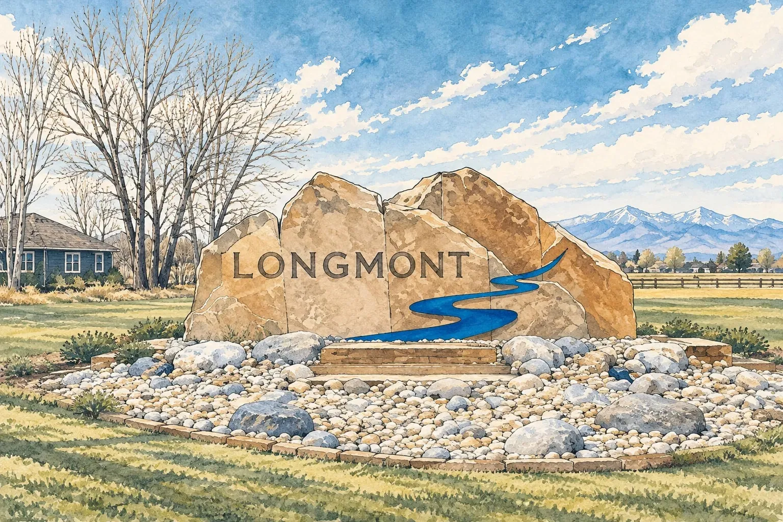 Northwest Corridor Longmont Boulder County's largest city after Boulder, with a historic Main Street, Longs Peak on the horizon and prices Boulder left behind.
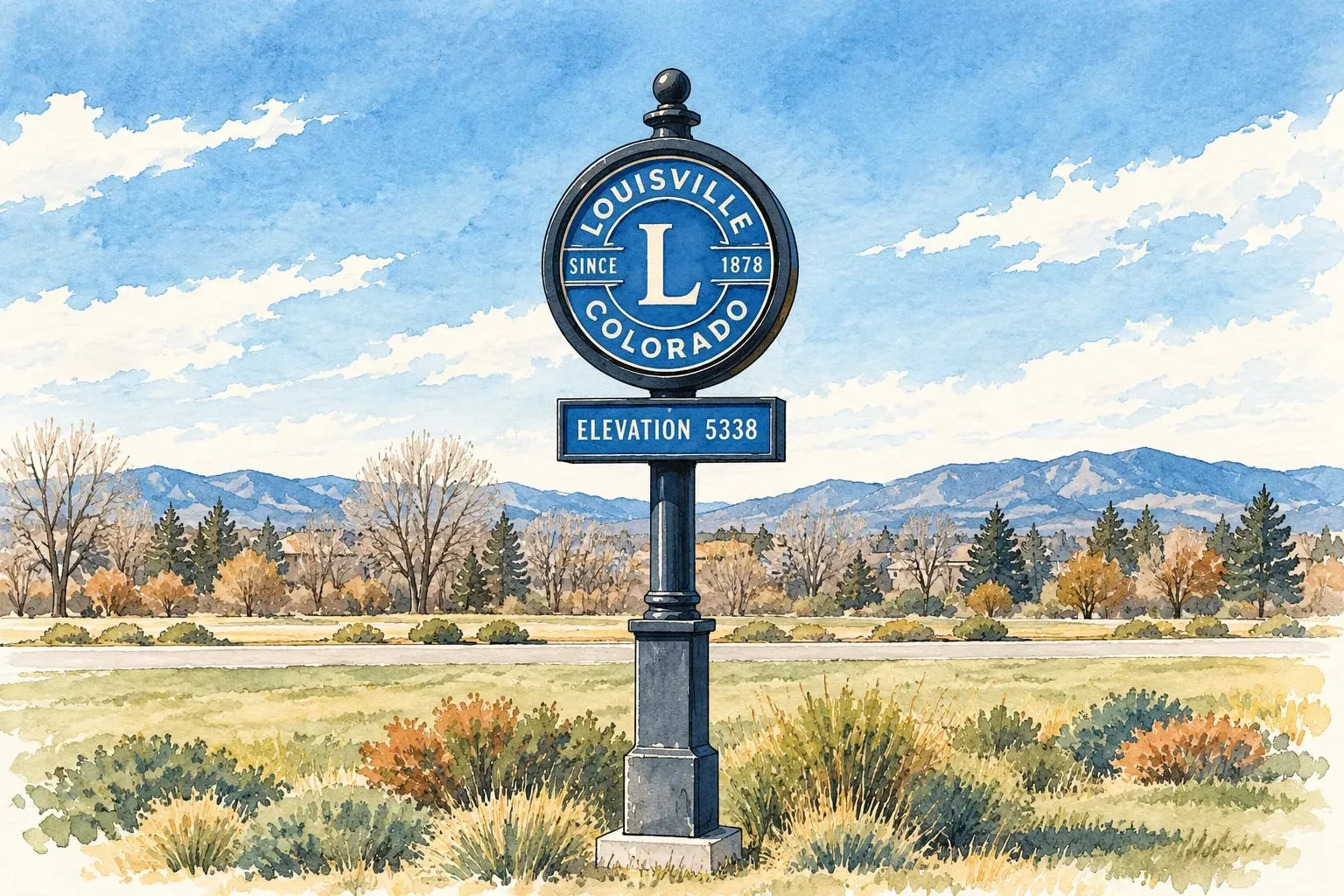 Northwest Corridor Louisville A coal-mining town turned one of the country's most-praised small cities, with a Main Street built for summer evenings.
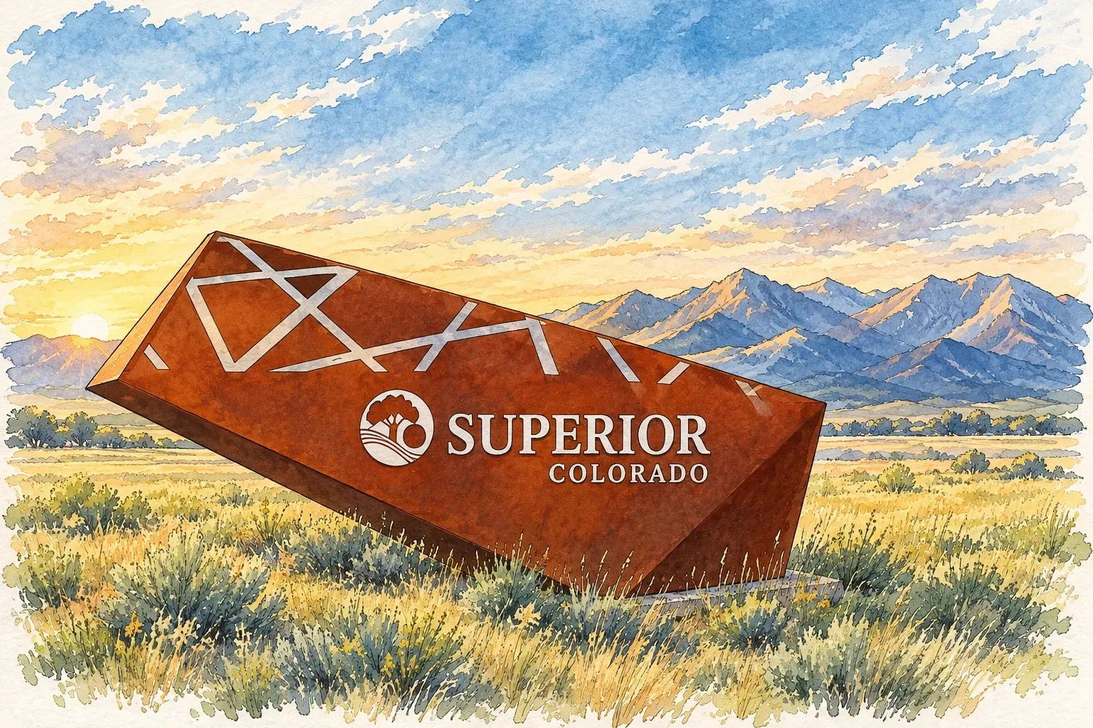 Northwest Corridor Superior Rock Creek's family neighborhoods against the Flatirons, rebuilt and renewed after the Marshall Fire.
Northwest Denver
Read the Northwest Denver area guide
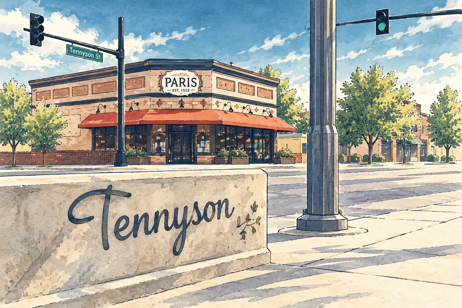 Northwest Denver Berkeley and Tennyson Street Two lakes, a main street of shops and restaurants, and bungalows that families grow into.
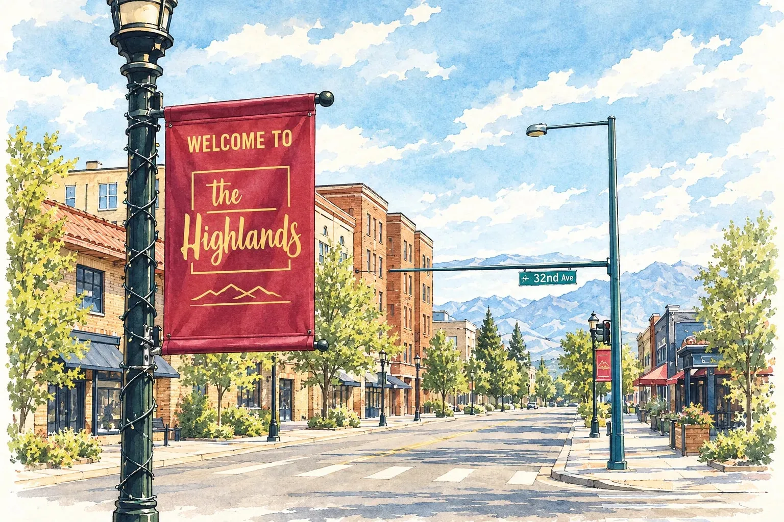 Northwest Denver Highlands LoHi's restaurants and skyline views, West Highland's bungalows, and the bluff above the river.
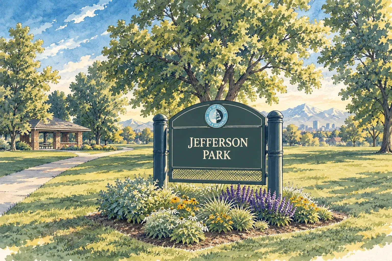 Northwest Denver Jefferson Park A small hilltop neighborhood of new townhomes and old cottages with the stadium and the skyline below.
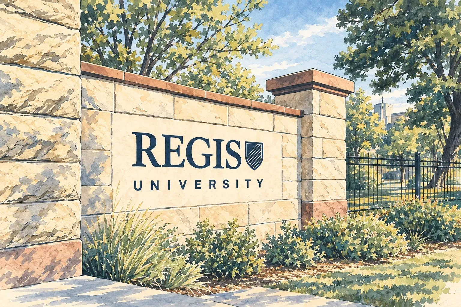 Northwest Denver Regis and Chaffee Park Mid-century ranches and bungalows around Regis University, the most attainable corner of northwest Denver.
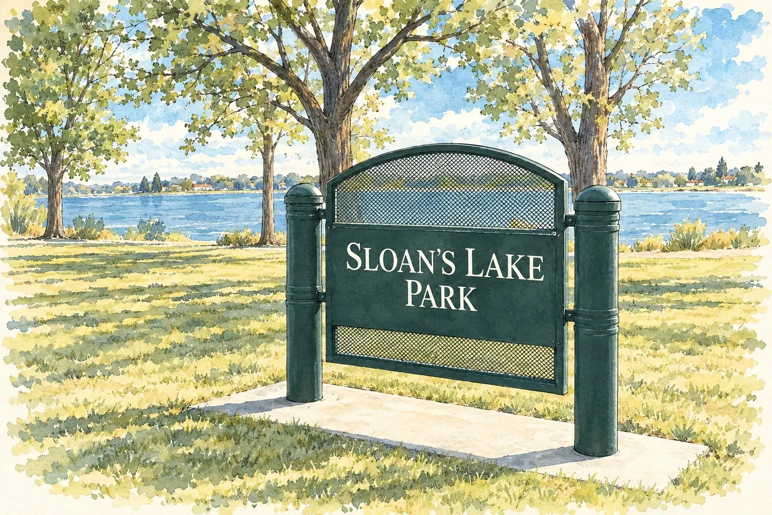 Northwest Denver Sloan's Lake and Villa Park Denver's second-largest park, the W Line to downtown, and the city's most active new-construction corridor.
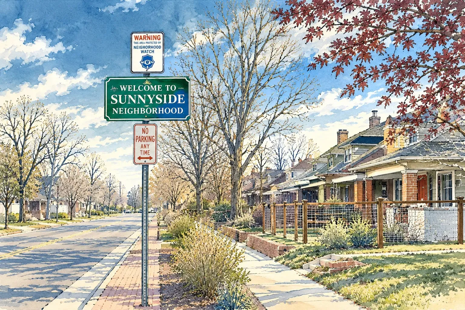 Northwest Denver Sunnyside The Highlands' quieter northern neighbor, with bungalows, a new rail station and a growing 44th Avenue.
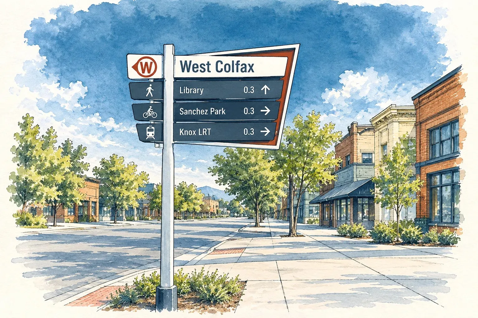 Northwest Denver West Colfax Sloan's Lake's southern neighbor, remade by the W Line and the St. Anthony hospital redevelopment.
South Central
Read the South Central area guide
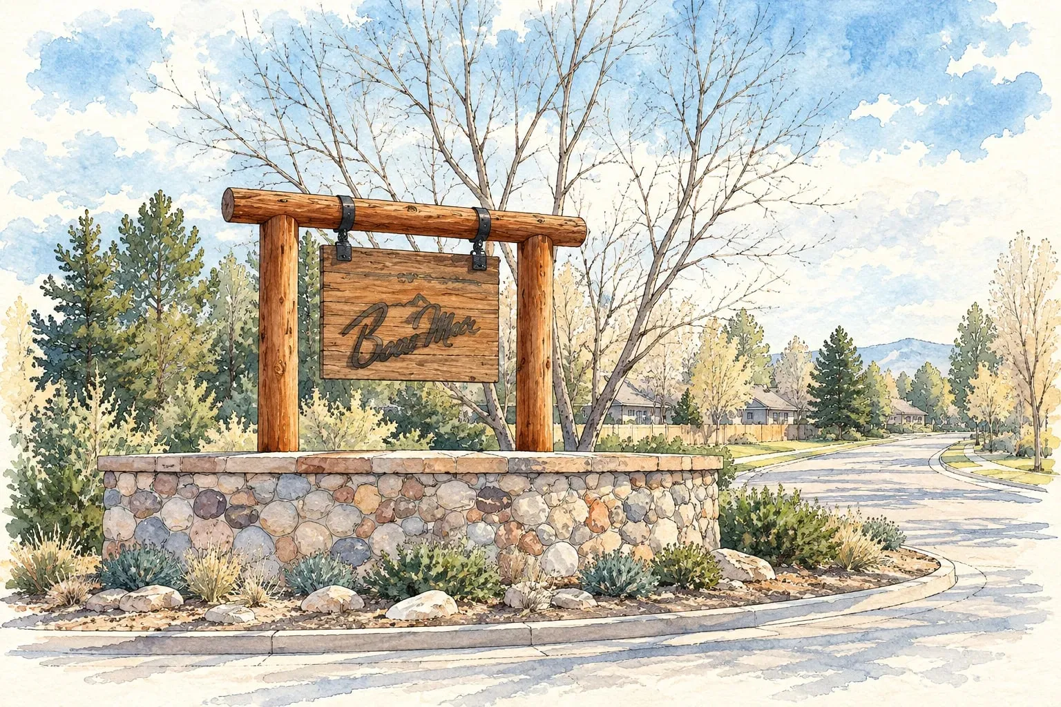 South Central Bow Mar and Columbine Valley Two small lakeside and golf-course towns west of Littleton, with large lots and mid-century custom homes.
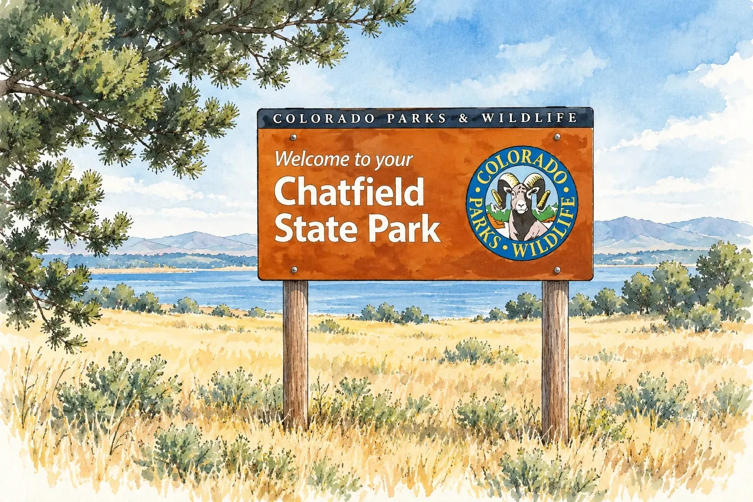 South Central Columbine and Chatfield The neighborhoods around Chatfield State Park: 1970s to 2000s homes, the reservoir, Columbine and the foothills.
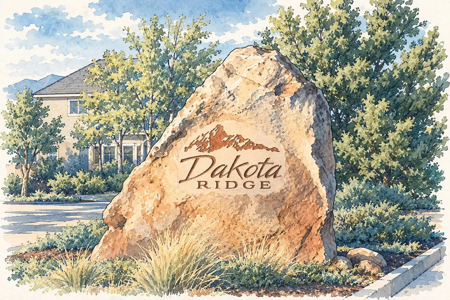 South Central Dakota Ridge Newer neighborhoods under the hogback, with Bear Creek Lake, Red Rocks and C-470 at the door.
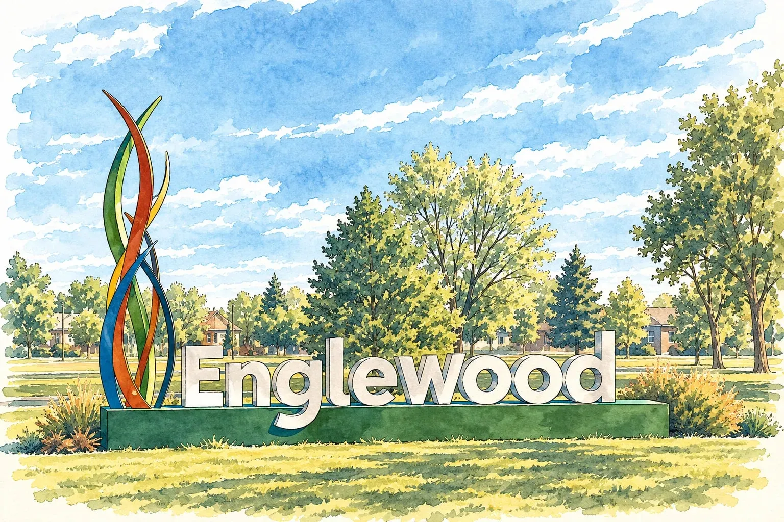 South Central Englewood Bungalows and ranches just south of the Denver line, the Swedish Medical campus and a reviving South Broadway.
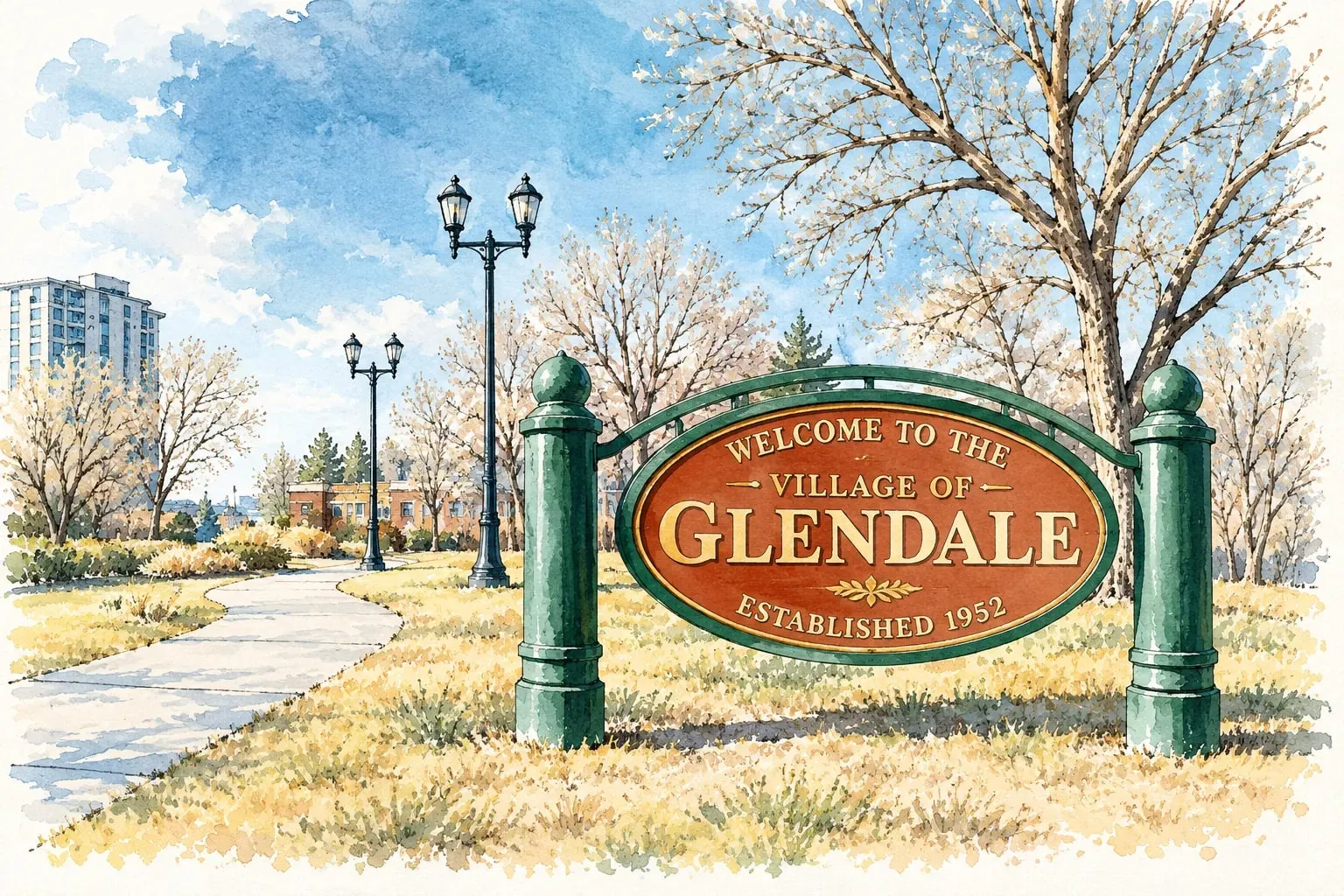 South Central Glendale A one-square-mile city inside Denver, built almost entirely of condominiums and apartments near Cherry Creek.
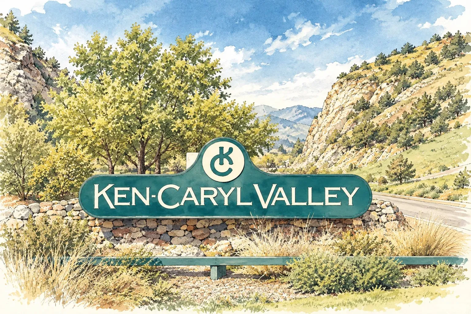 South Central Ken Caryl A planned community at the foot of the hogback, with its own valley, trails and a working ranch history.
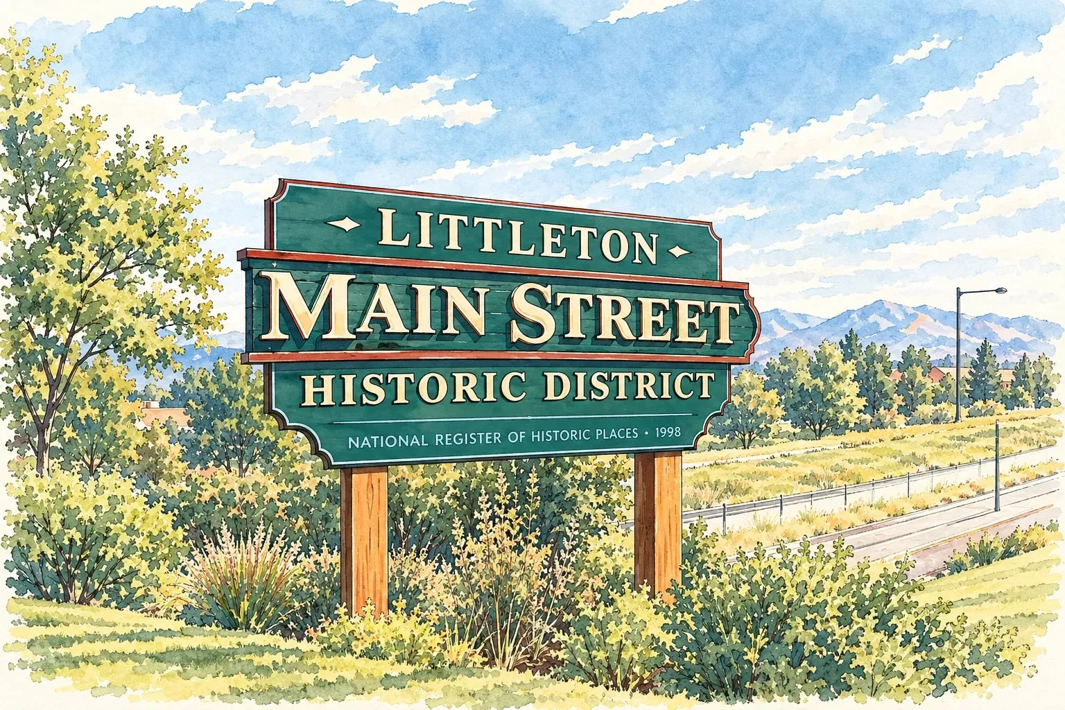 South Central Littleton A real downtown on Main Street, the Platte River trails, and neighborhoods from Victorian to brand new.
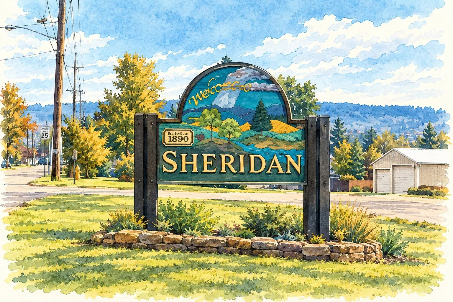 South Central Sheridan A small city along the river between Denver and Englewood, with the River Point shops and homes priced below both neighbors.
Southeast Denver
Read the Southeast Denver area guide
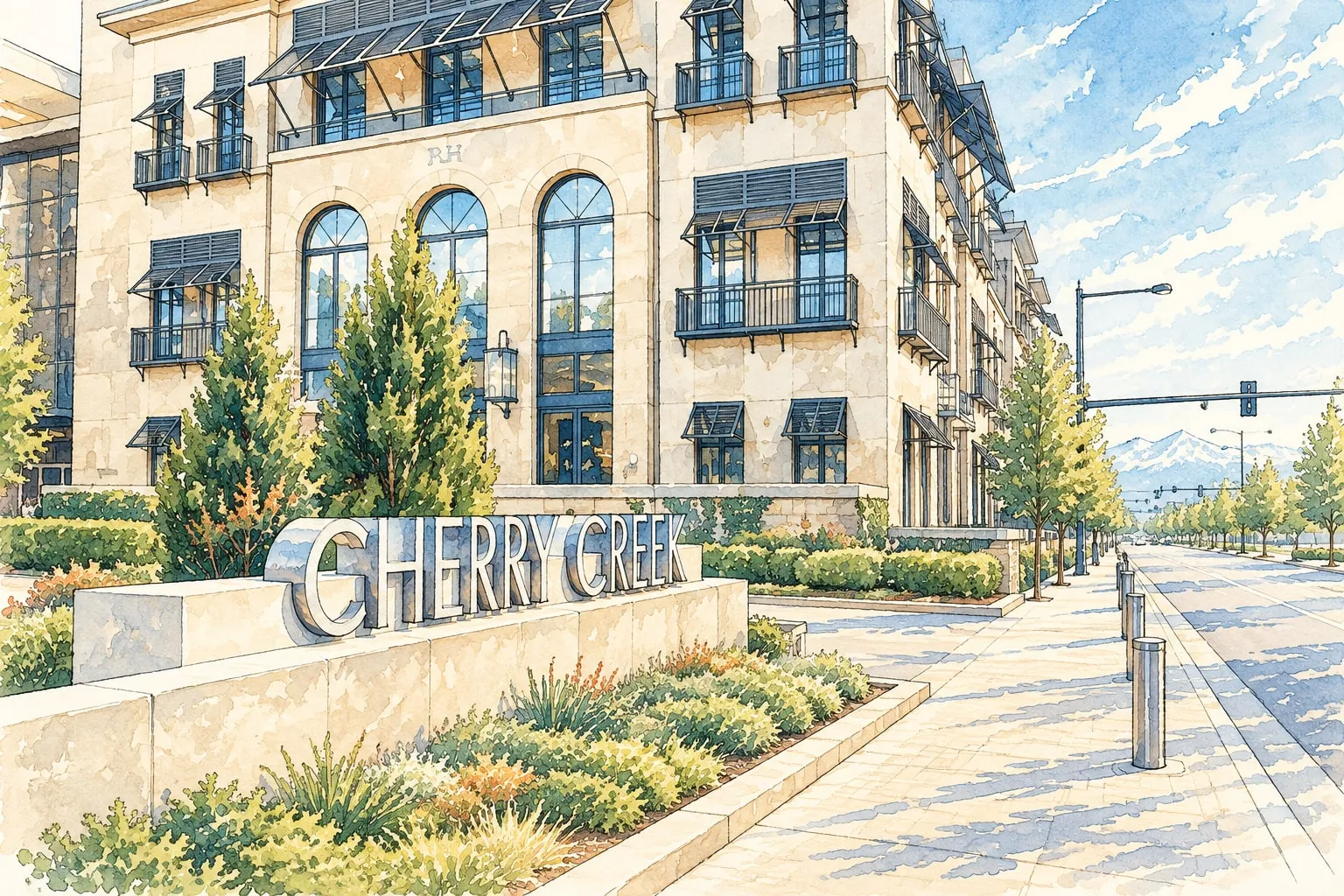 Southeast Denver Cherry Creek The shopping district, the creek trail, and the most expensive condominiums and townhomes in Denver.
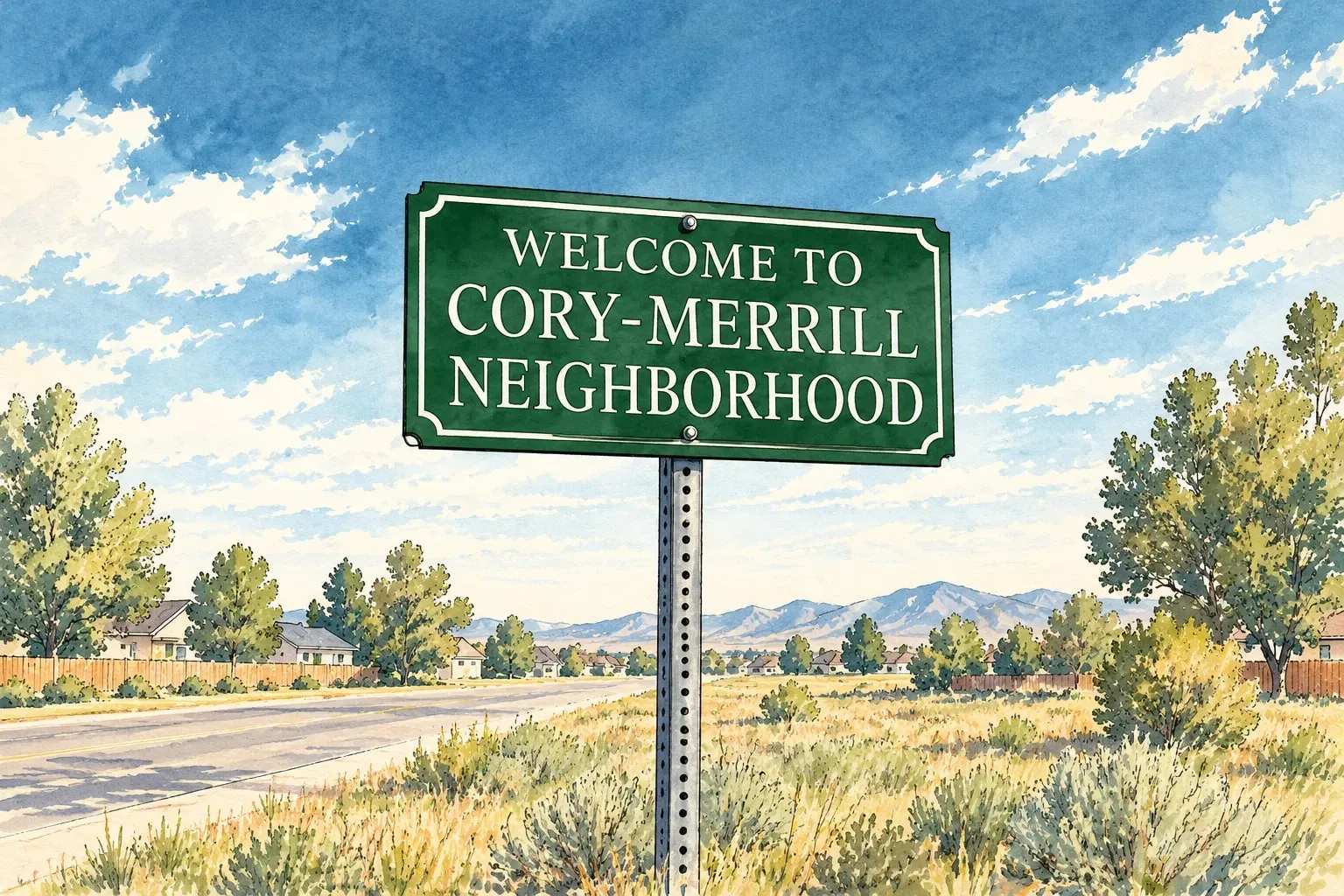 Southeast Denver Cory-Merrill A school-centered neighborhood of 1940s brick homes and new two-stories between Wash Park and Colorado Boulevard.
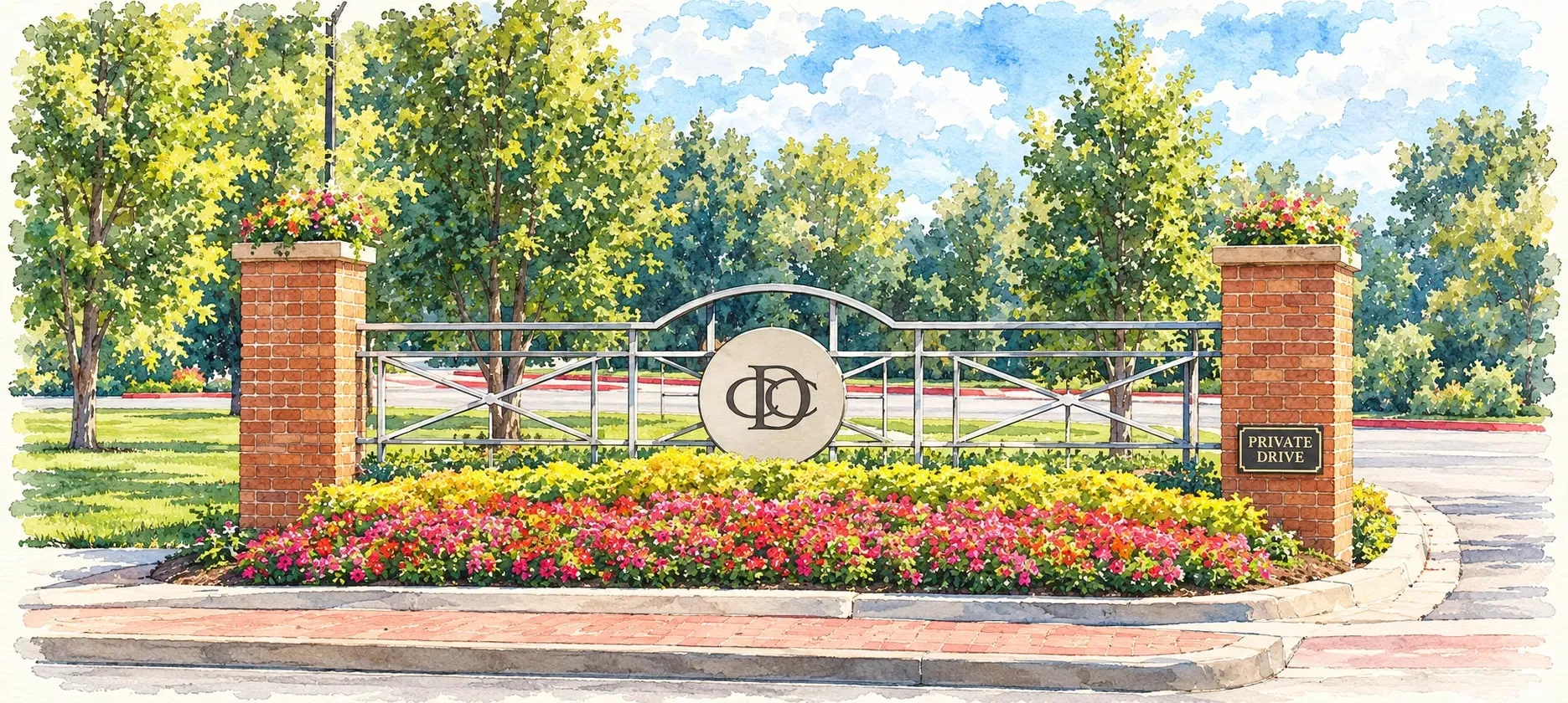 Southeast Denver Country Club and Belcaro Gated parkways, 1920s mansions and the estate lots of Belcaro and Bonnie Brae.
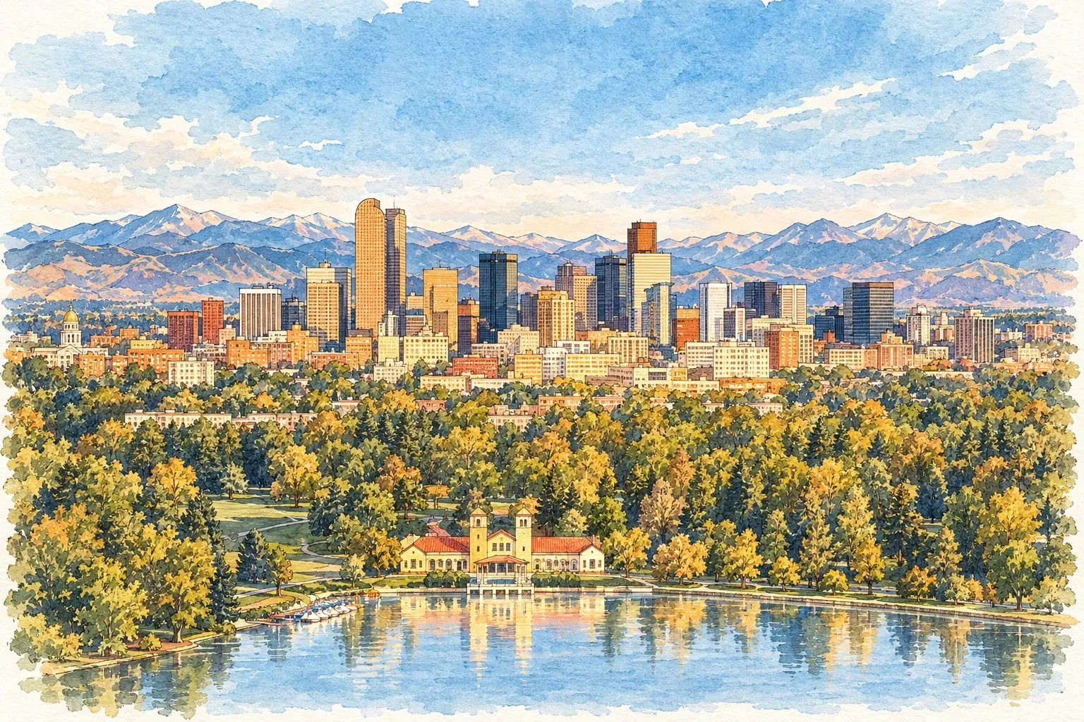 Southeast Denver Goldsmith Bible Park, the Highline Canal and 1950s and 1960s ranches between Virginia Village and the Tech Center.
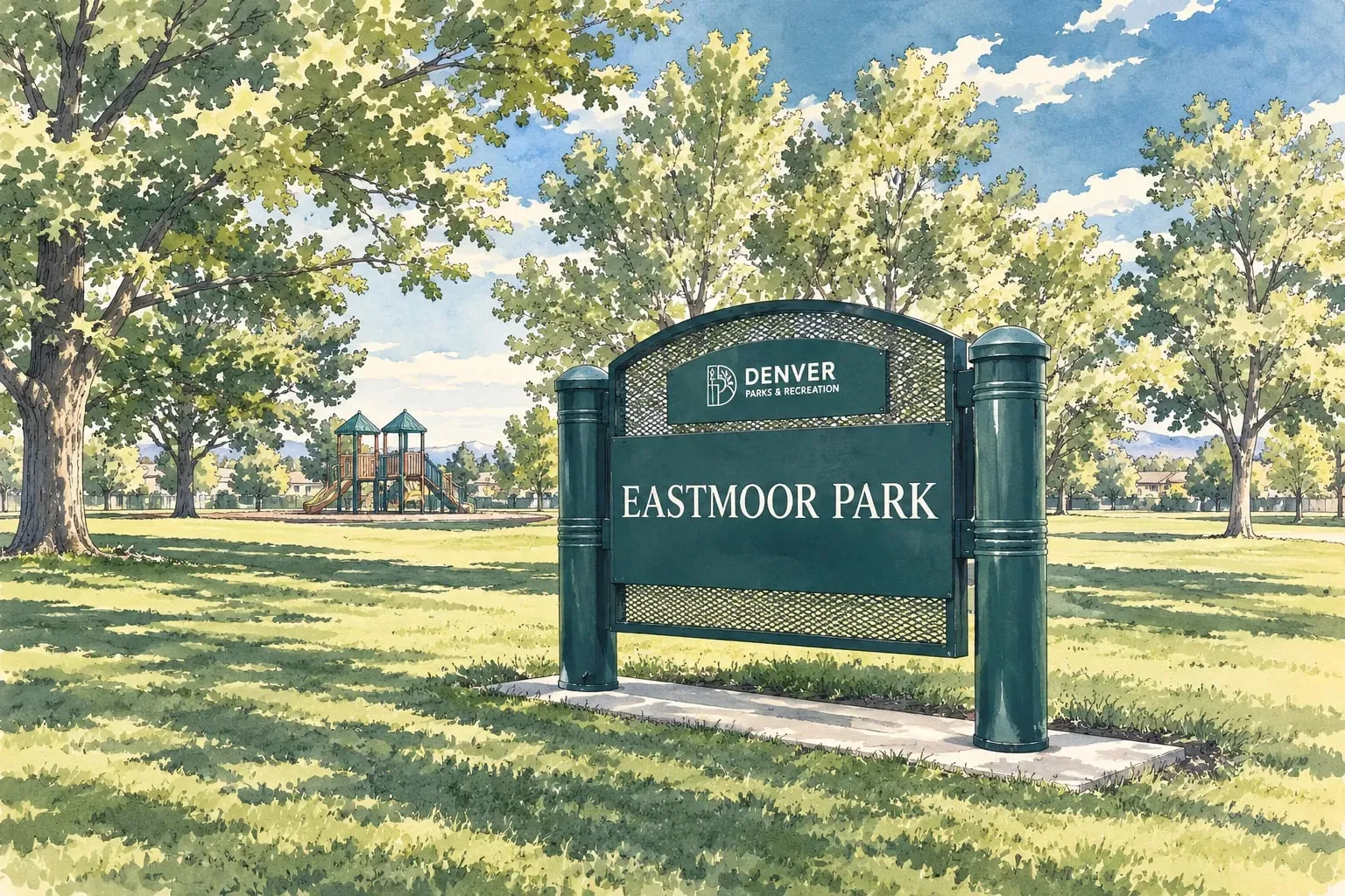 Southeast Denver Hampden and Southmoor Mid-century ranches, big lots and the Denver Tech Center commute from the city's southeast corner. Southeast Denver Indian Creek A small neighborhood of 1970s and 1980s homes along Cherry Creek at the Aurora line.
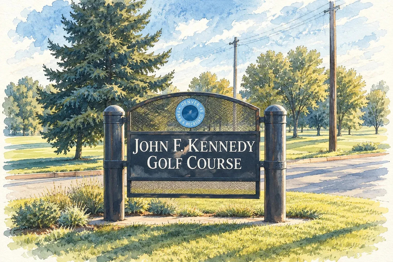 Southeast Denver Kennedy Kennedy Golf Course, the Tech Center commute and 1960s to 1980s homes at the city's southeast edge.
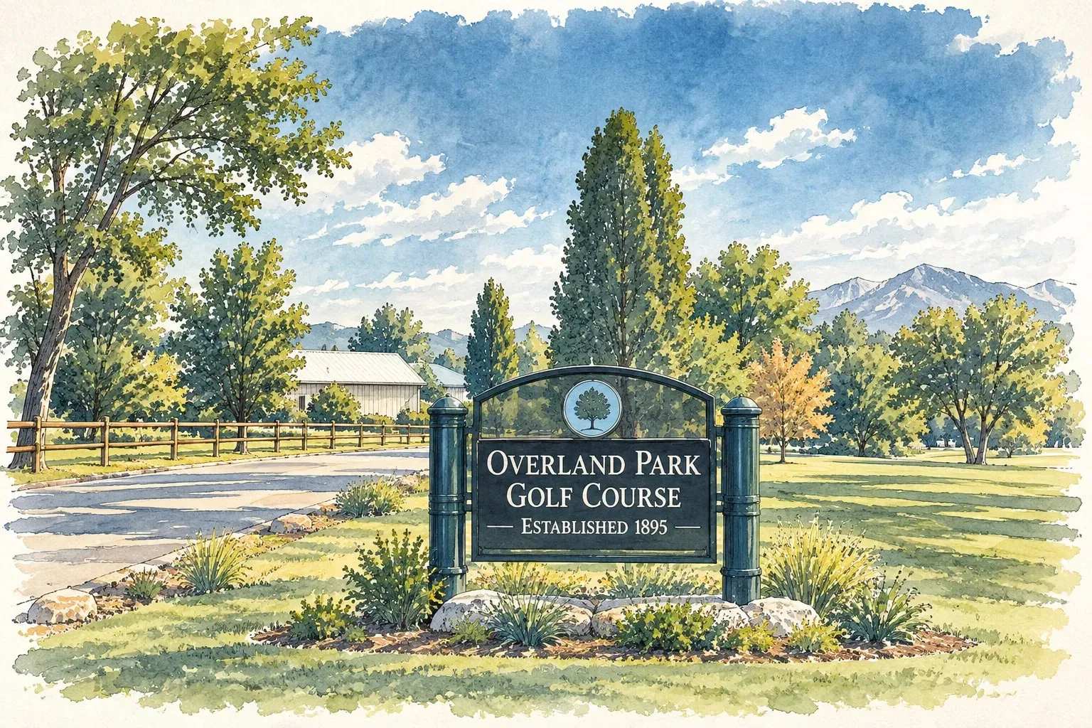 Southeast Denver Overland Overland Park's golf course, the river trail and workers' cottages along South Broadway's southern end.
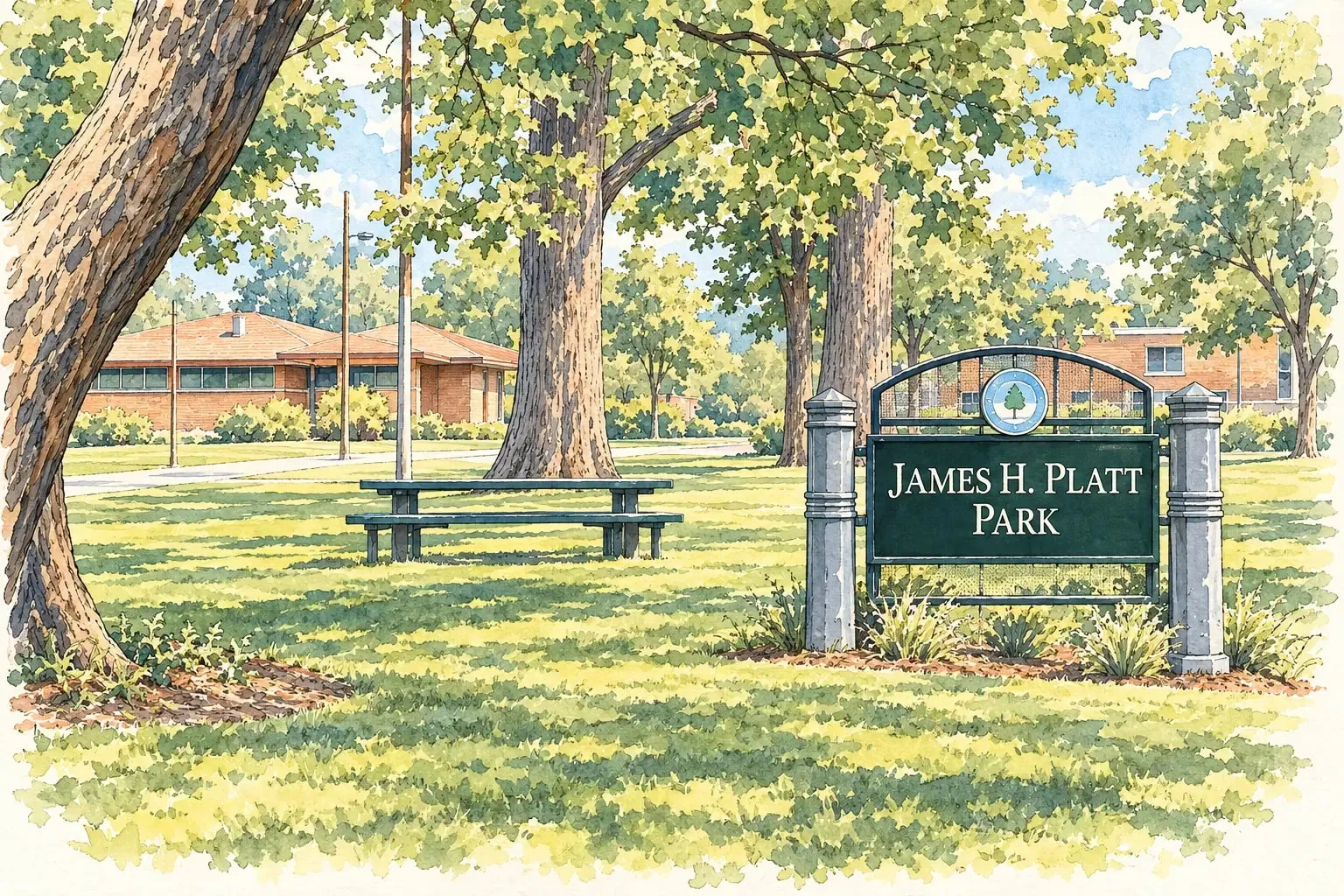 Southeast Denver Platt Park Old South Pearl Street, the farmers market and bungalow blocks south of Washington Park.
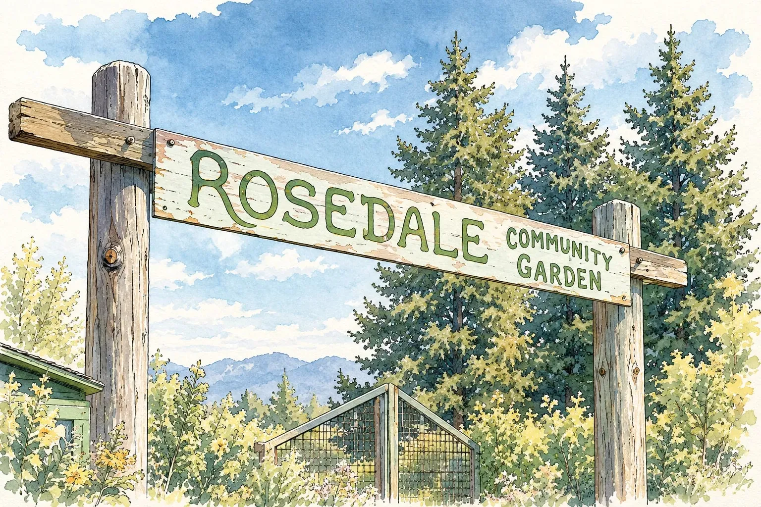 Southeast Denver Rosedale Harvard Gulch Park, the Rosedale Community Garden and bungalows just south of Platt Park.
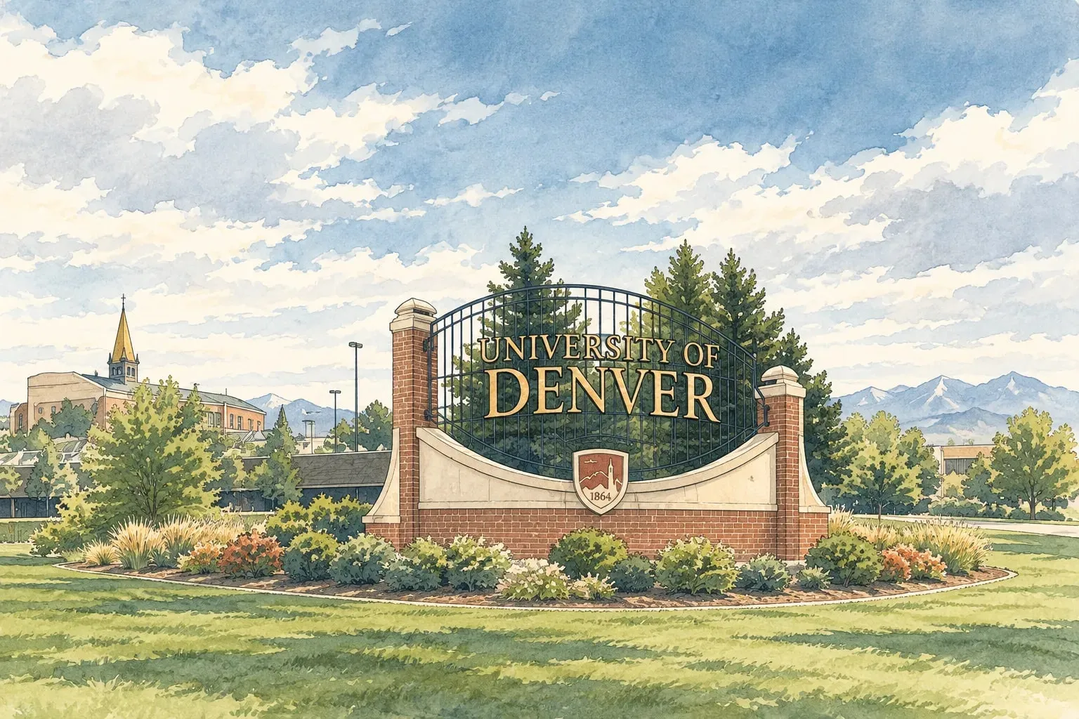 Southeast Denver University The west side of the University of Denver campus, with bungalows, student housing and the light rail station. Southeast Denver University Hills 1950s ranches along the Highline Canal, the Eisenhower pool and the Colorado light rail station.
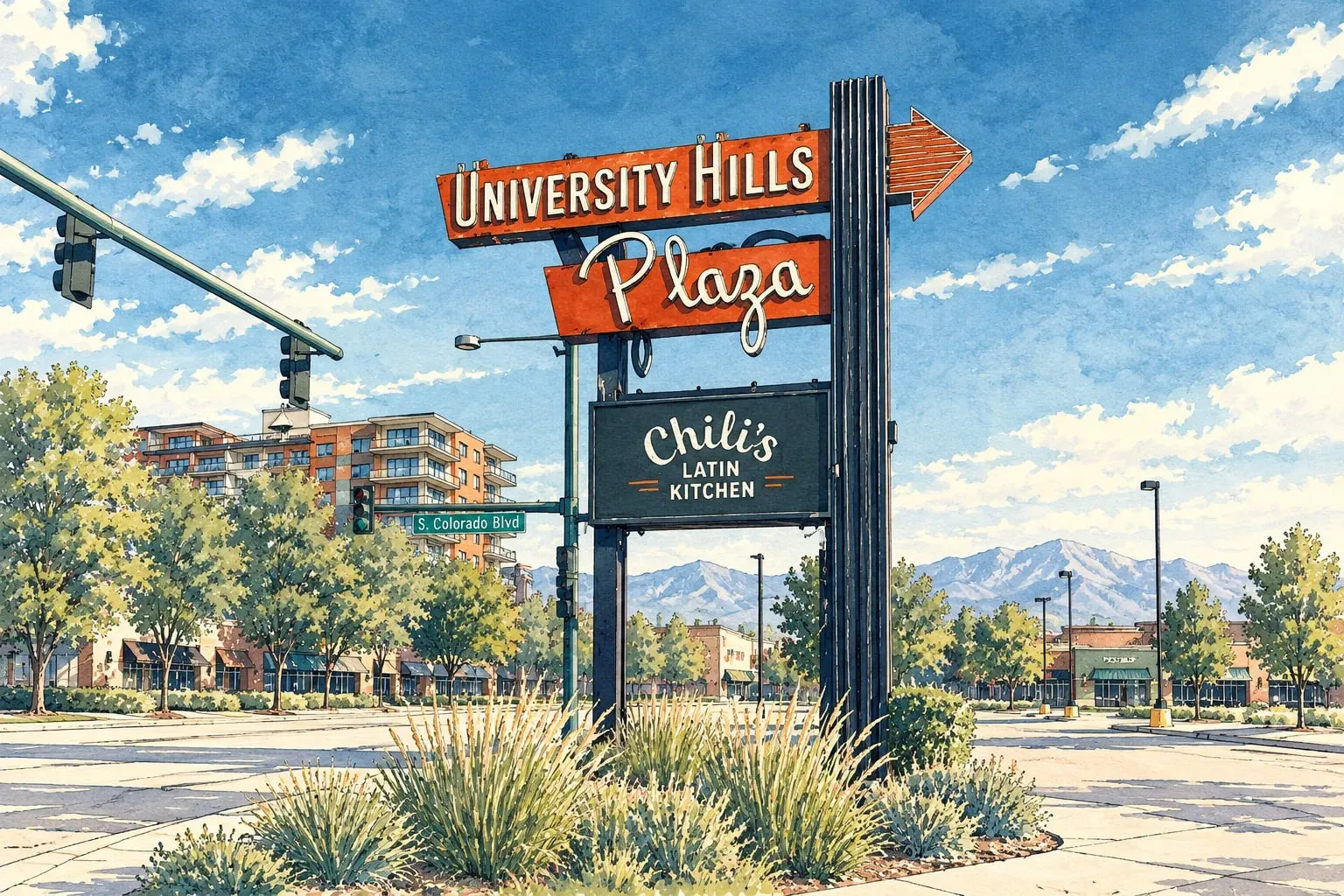 Southeast Denver University Park and Observatory Park The University of Denver campus, the Chamberlin Observatory, and large new homes on quiet streets.
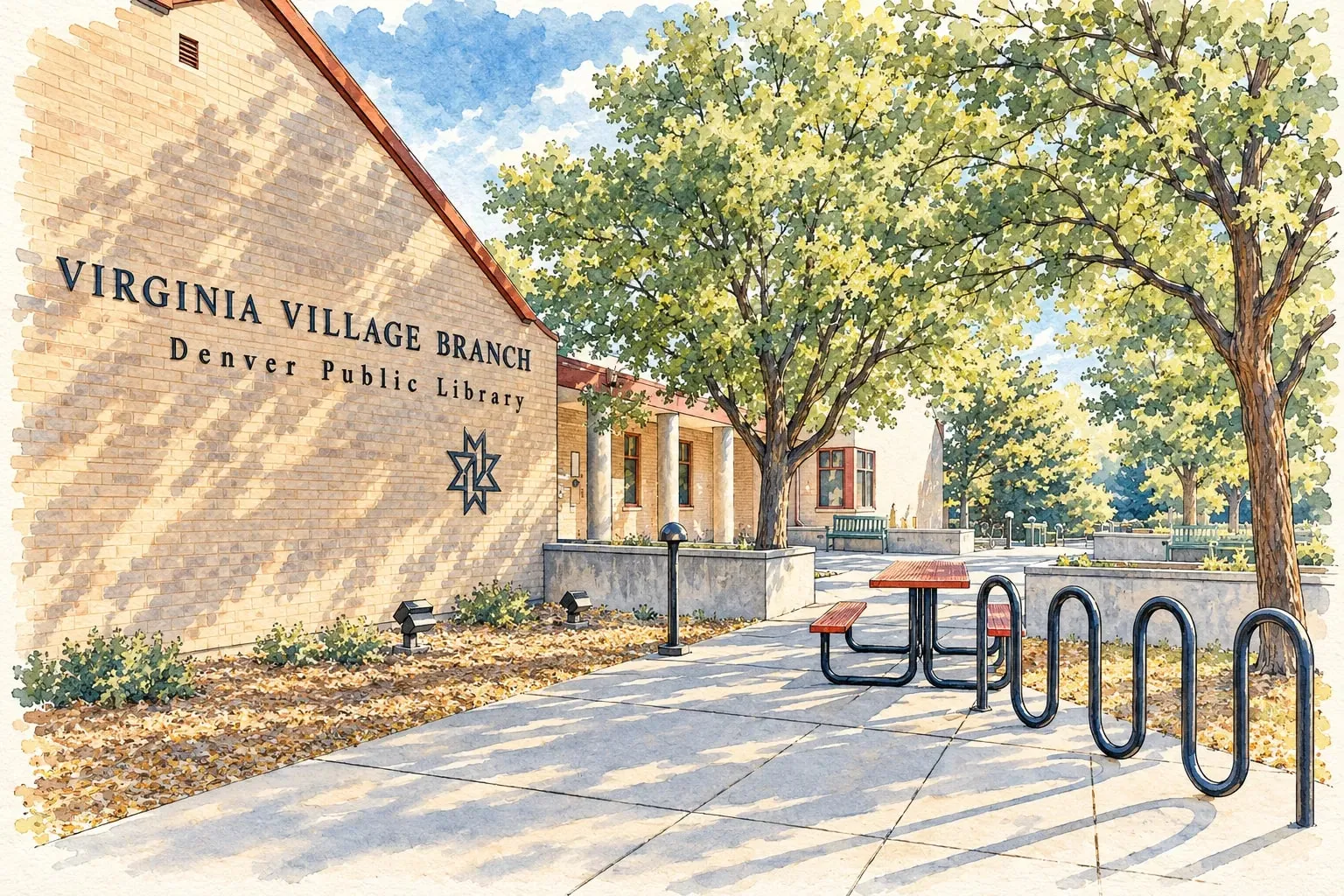 Southeast Denver Virginia Village Mid-century ranches on curving streets, Cherry Creek's trail and some of the best value in central-southeast Denver.
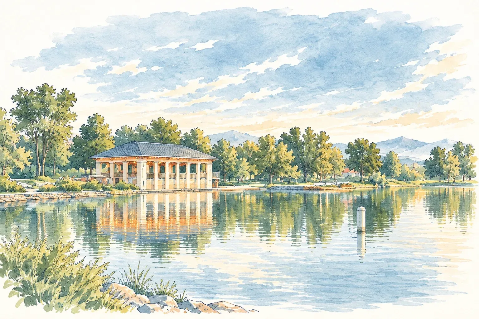 Southeast Denver Washington Park Two lakes, the biggest meadow in the city, and blocks of brick that have held their value for a century. Southeast Denver Washington Virginia Vale Four Mile Historic Park, Cherry Creek's banks and 1950s ranches between Glendale and Lowry.
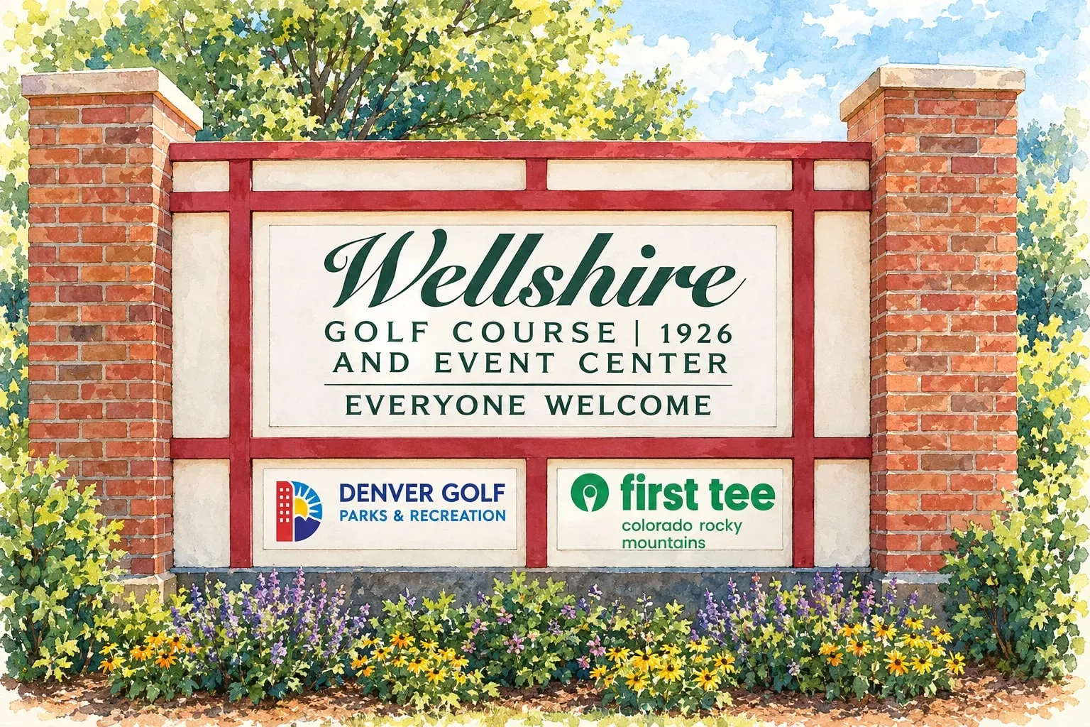 Southeast Denver Wellshire Large lots and large rebuilds beside the Wellshire golf course, on the Cherry Hills side of the city line.
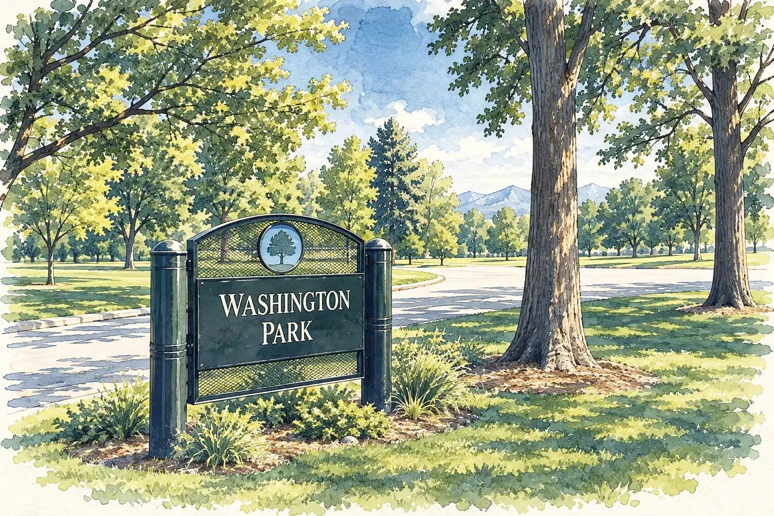 Southeast Denver West Washington Park and Speer The west side of the park and the blocks up to Speer Boulevard: bungalows, Victorians, South Broadway and the creek trail.
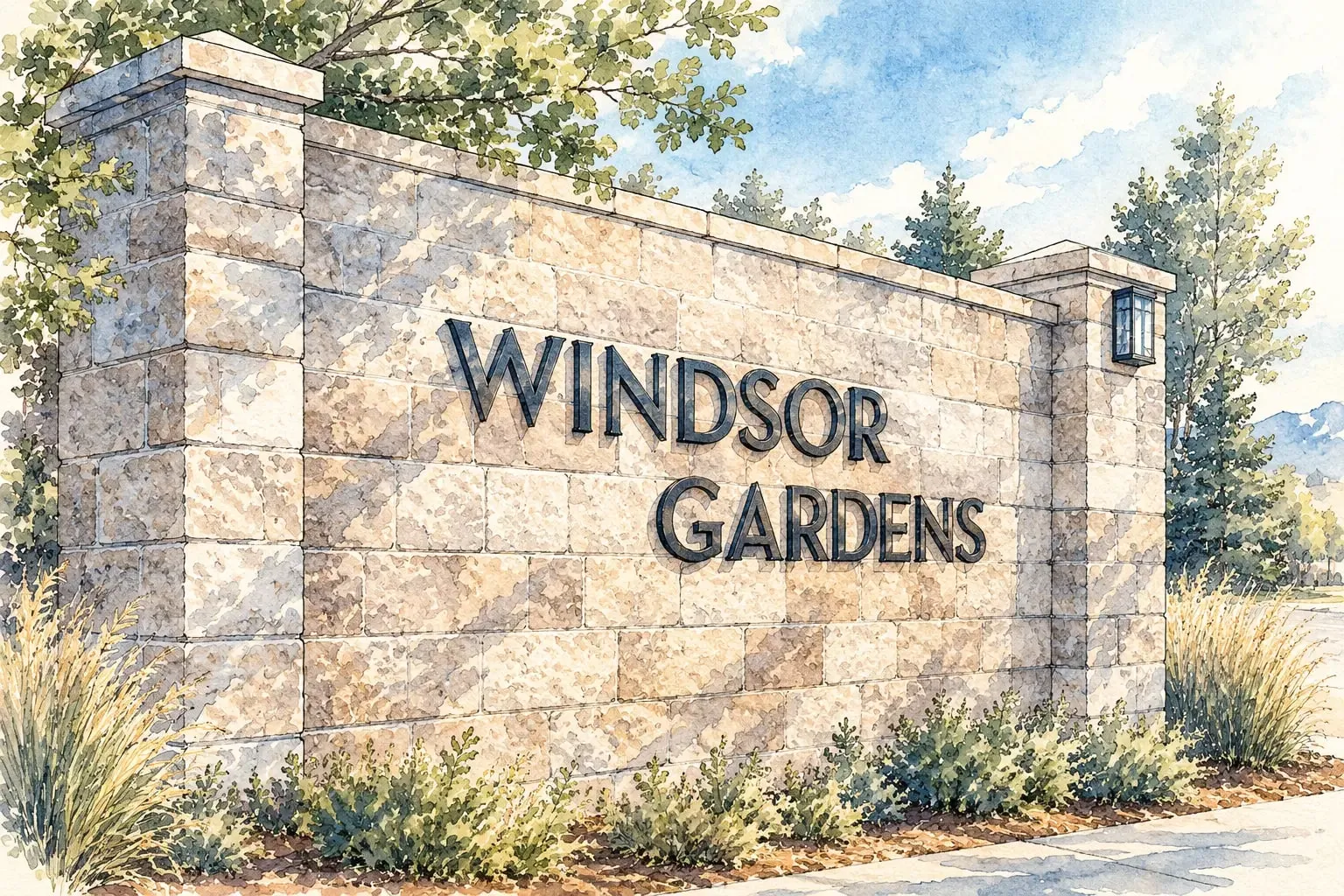 Southeast Denver Windsor Windsor Gardens, Denver's largest 55-plus community, and the 1960s neighborhoods along the Highline Canal.
Southeast Metro
Read the Southeast Metro area guide
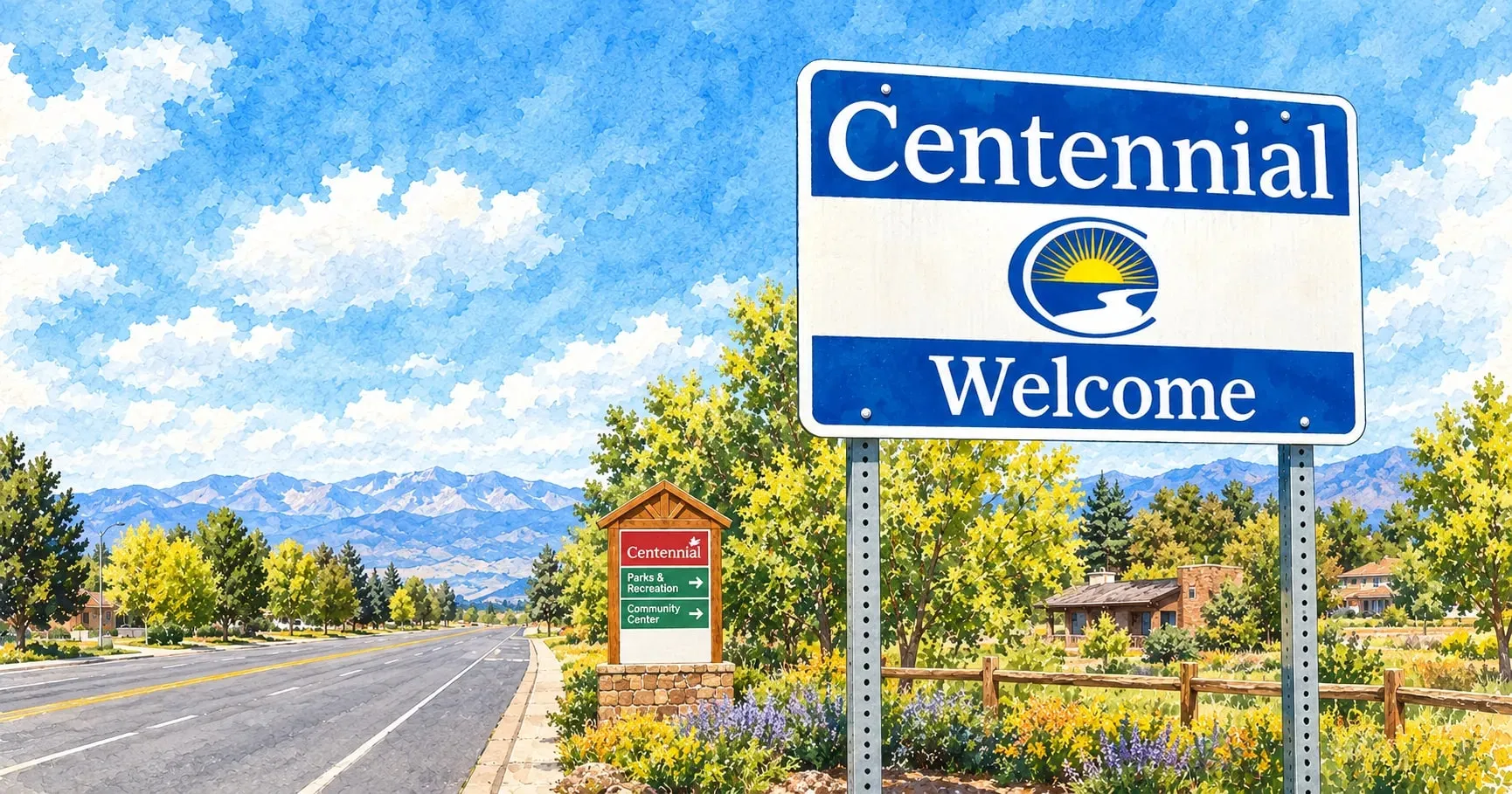 Southeast Metro Centennial and Foxfield A hundred thousand people in 1970s to 2000s subdivisions, with the Streets at SouthGlenn and Cherry Creek schools.
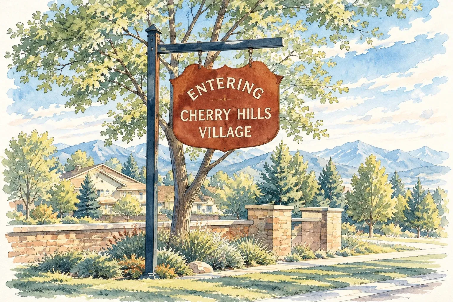 Southeast Metro Cherry Hills Village Colorado's most expensive city: estates on acreage, two country clubs and no commercial district at all.
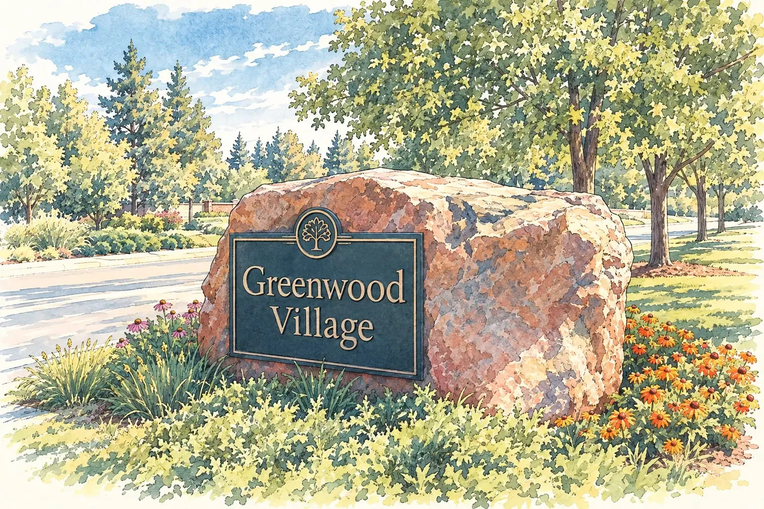 Southeast Metro Greenwood Village Acre lots and horse properties on one side of the city, the Denver Tech Center's towers on the other.
Southwest Denver
Read the Southwest Denver area guide
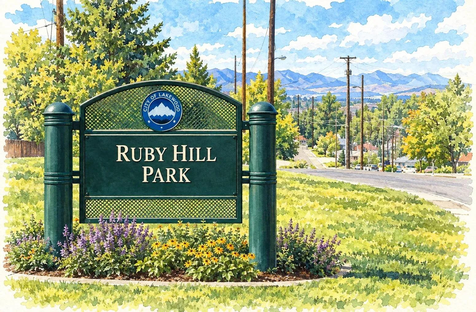 Southwest Denver Athmar Park and Ruby Hill Brick ranches along the river, the Ruby Hill sledding hill and bike park, and the Levitt Pavilion's free concerts.
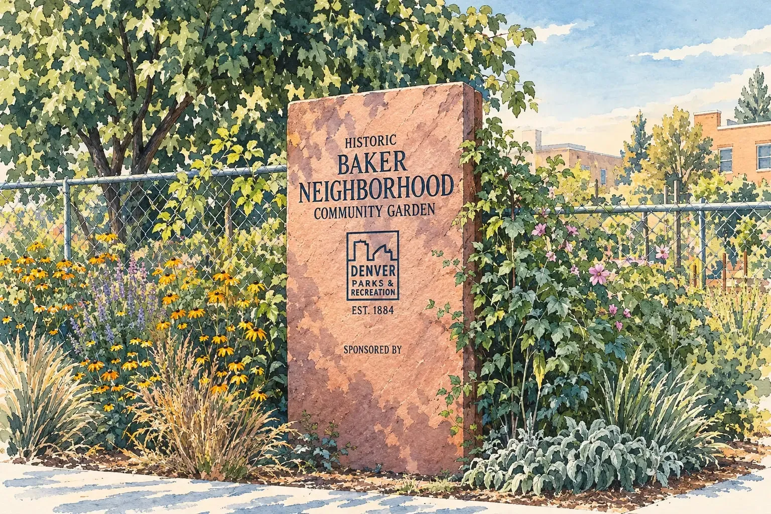 Southwest Denver Baker and the Santa Fe Arts District Denver's largest collection of middle-class Queen Annes, a mile from the Capitol, with South Broadway at the door.
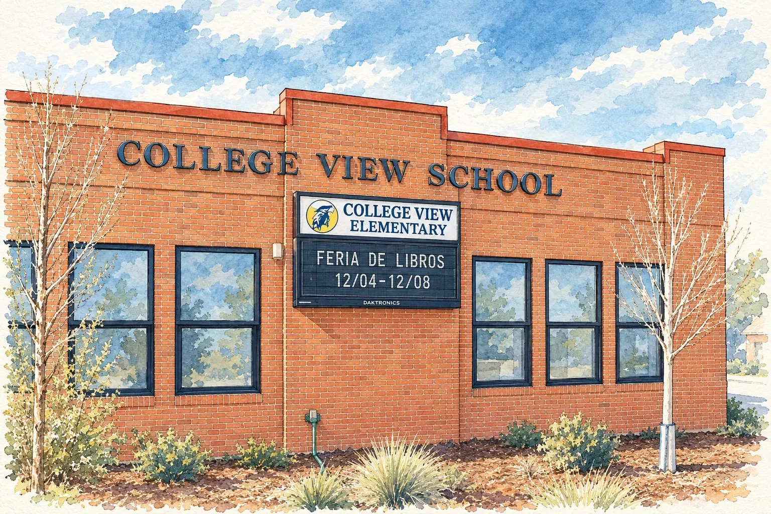 Southwest Denver College View and South Platte Small homes on large lots along the river's west bank, where Denver meets Englewood and Sheridan.
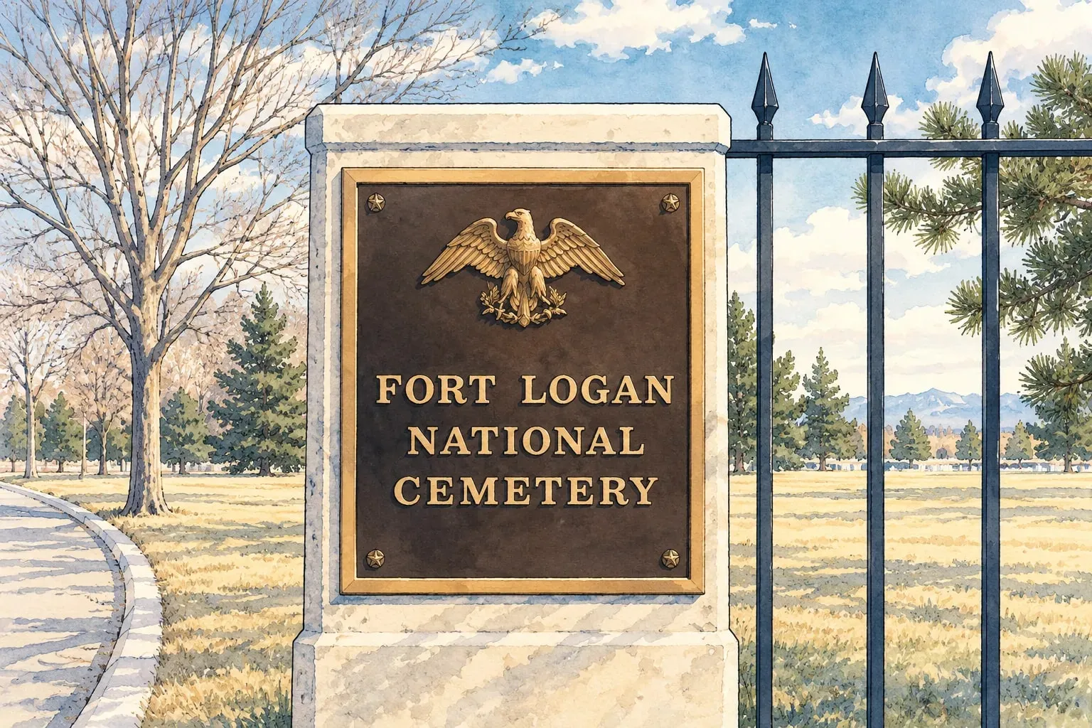 Southwest Denver Fort Logan The old Army post, the national cemetery, and the 1960s and 1970s neighborhoods built around them.
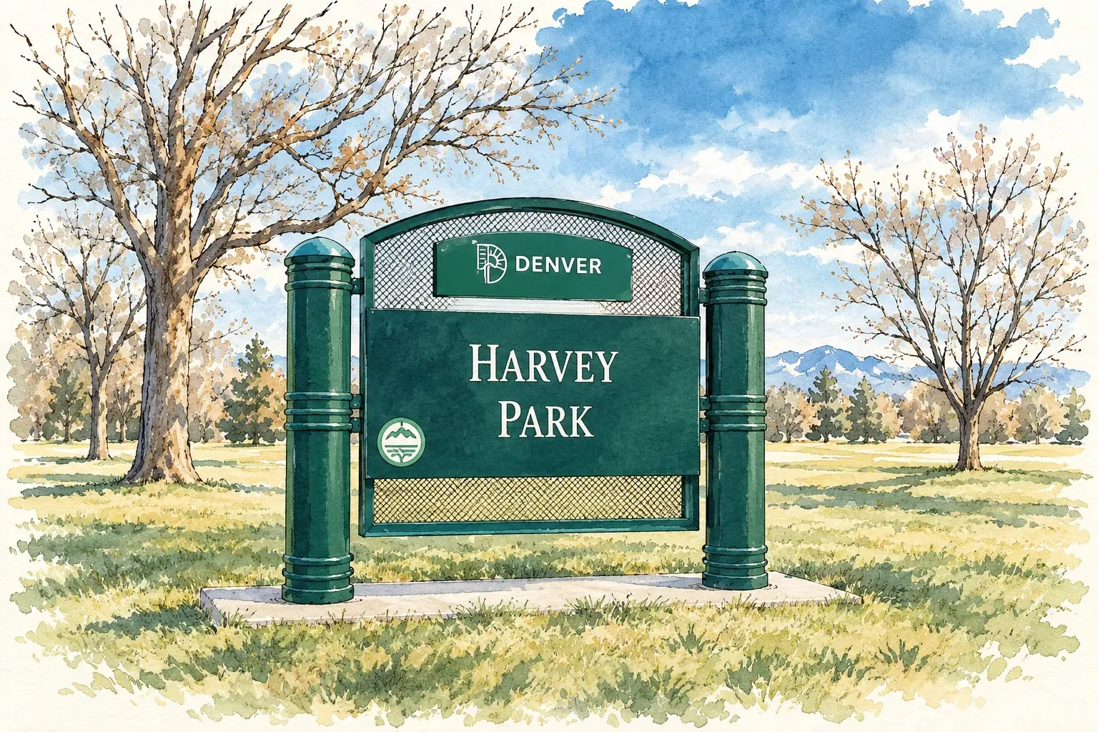 Southwest Denver Harvey Park and Bear Valley Mid-century modern ranches, two lakes and Bear Creek's trail in Denver's far southwest.
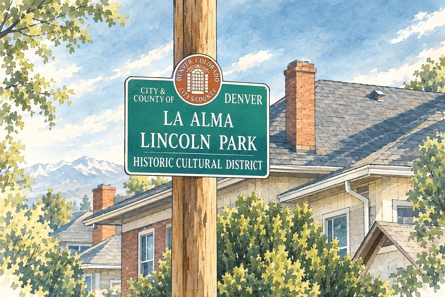 Southwest Denver Lincoln Park and La Alma The Santa Fe Arts District's home neighborhood, Victorian cottages, and a cultural history worth knowing. Southwest Denver Mar Lee Brick ranches on big lots between Westwood and Harvey Park, with Garfield Lake at the center. Southwest Denver Marston Denver's far southwest: 1970s and 1980s neighborhoods around Marston Lake with the foothills in view.
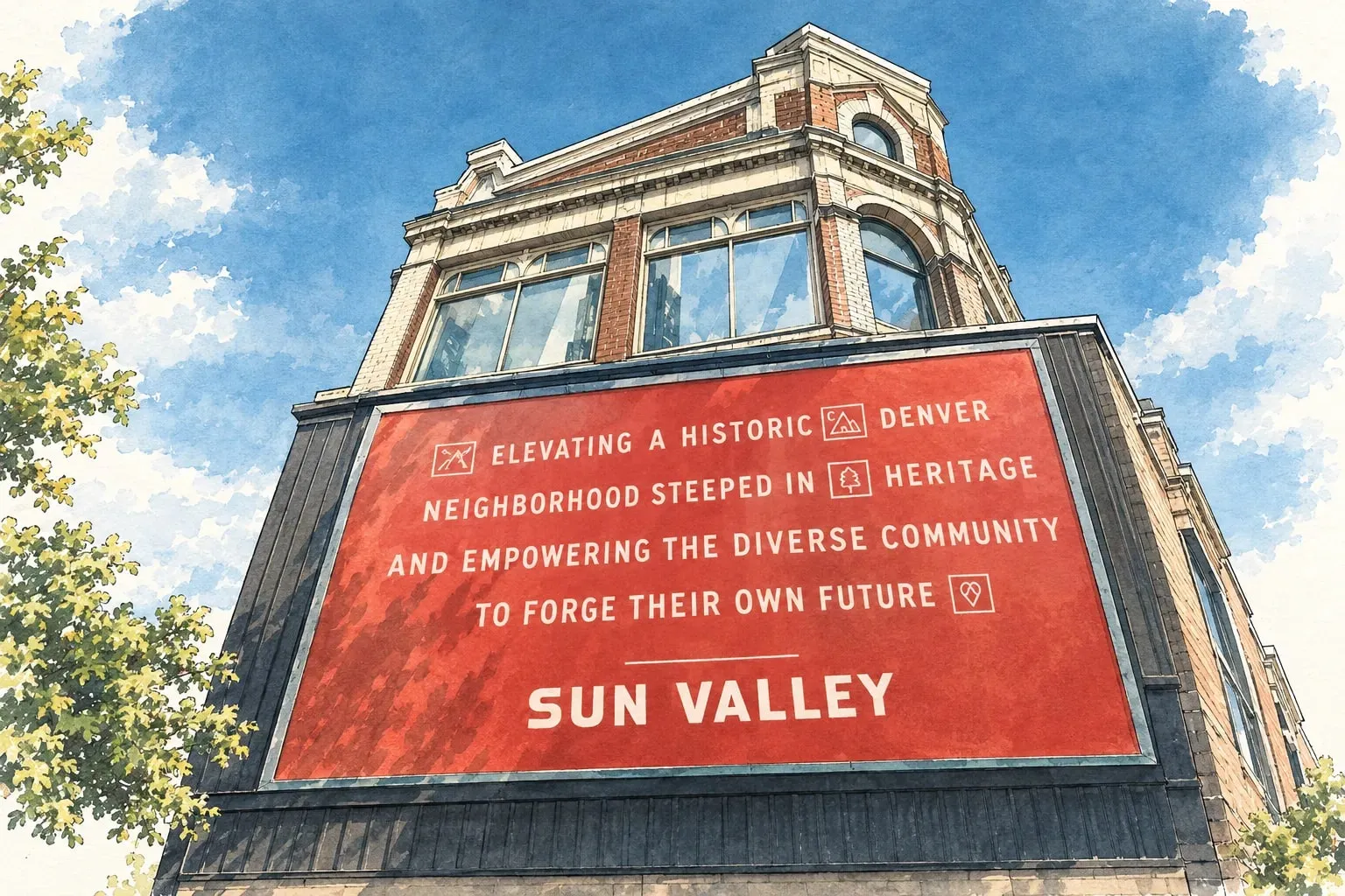 Southwest Denver Sun Valley The stadium's neighborhood on the river, being rebuilt block by block with new homes and a riverfront park.
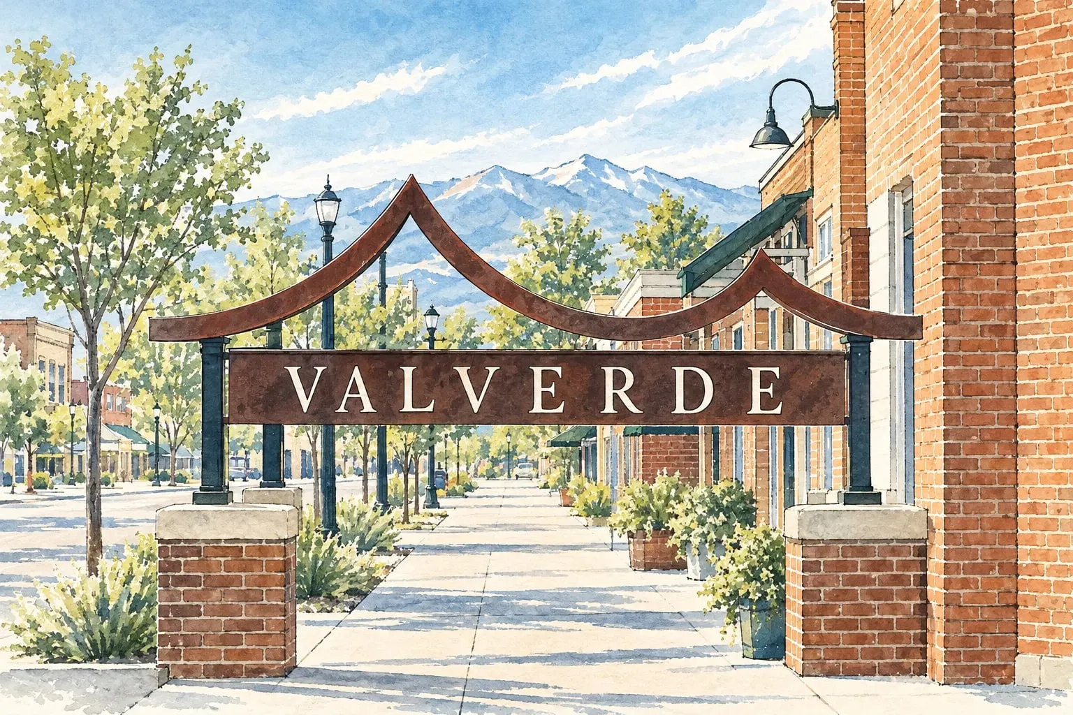 Southwest Denver Valverde A small riverside neighborhood between Baker and Athmar Park, with cottages, warehouses and the Platte trail.
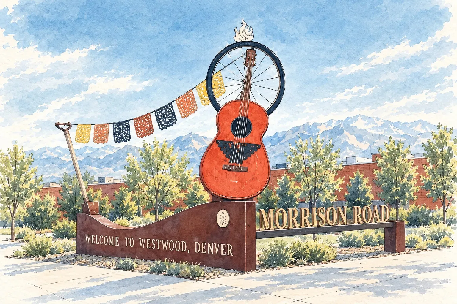 Southwest Denver Westwood and Barnum Small homes on big lots, Morrison Road's murals and markets, and some of Denver's lowest entry prices.
West Metro and Foothills
Read the West Metro and Foothills area guide
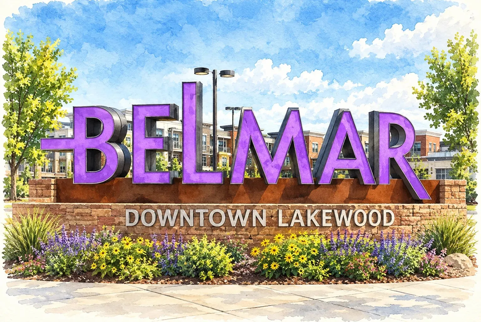 West Metro and Foothills Belmar Lakewood's downtown, built on a mall site in the 2000s, with Belmar Park's lake and the 1950s neighborhoods around it.
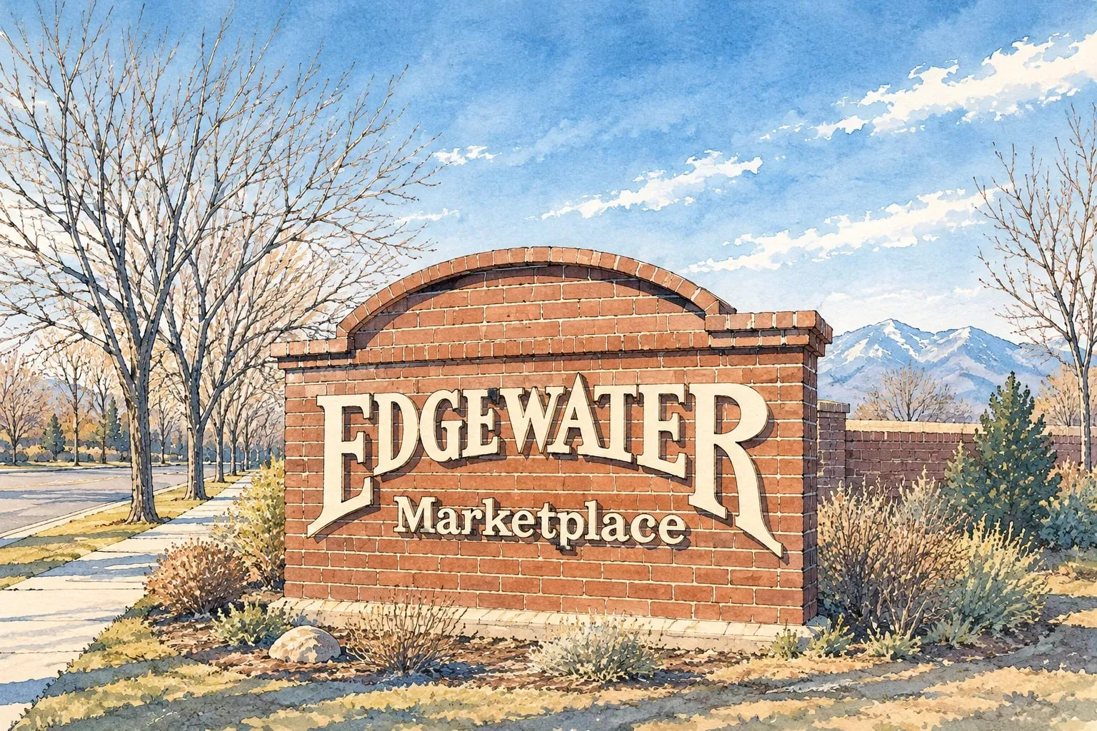 West Metro and Foothills Edgewater A one-square-mile city on the west shore of Sloan's Lake, with a food hall and the 25th Avenue strip.
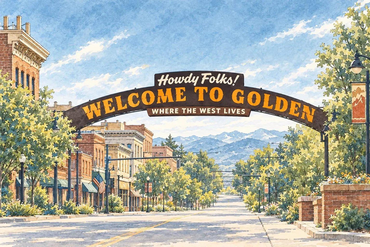 West Metro and Foothills Golden The old territorial capital at the mouth of Clear Creek Canyon, with the School of Mines, the brewery and the mesas. West Metro and Foothills Green Mountain West Lakewood's 1960s to 1980s neighborhoods on the slopes of a 2,400-acre park, with the mountains at the doorstep.
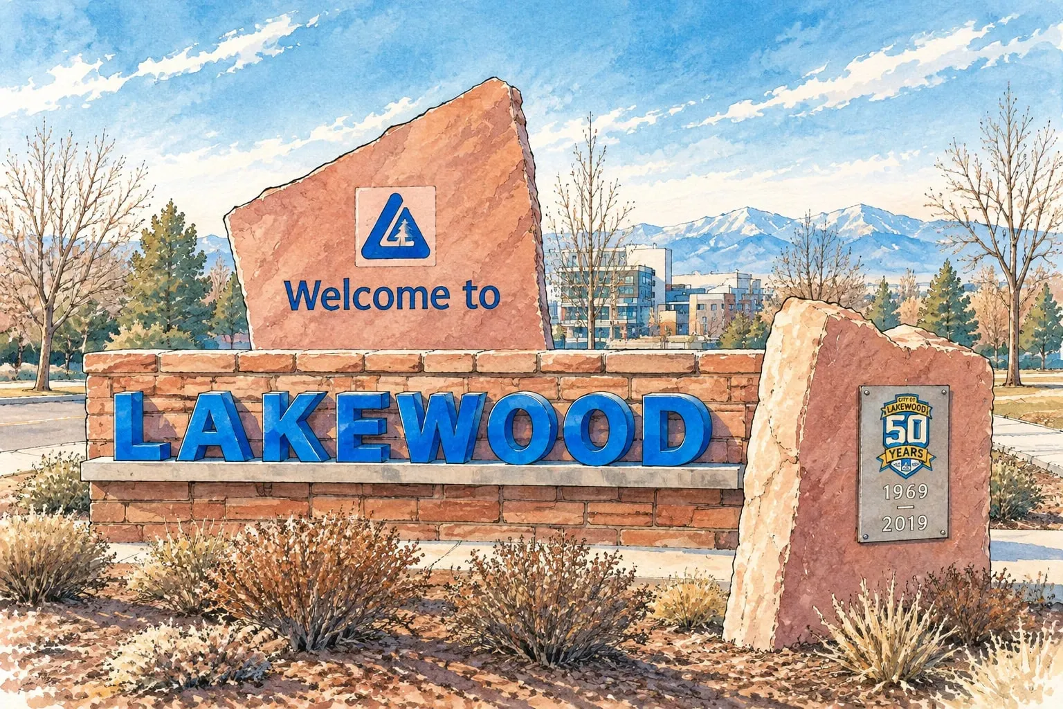 West Metro and Foothills Lakewood More than 80 parks, Bear Creek and Green Mountain out the back door, and light rail to downtown.
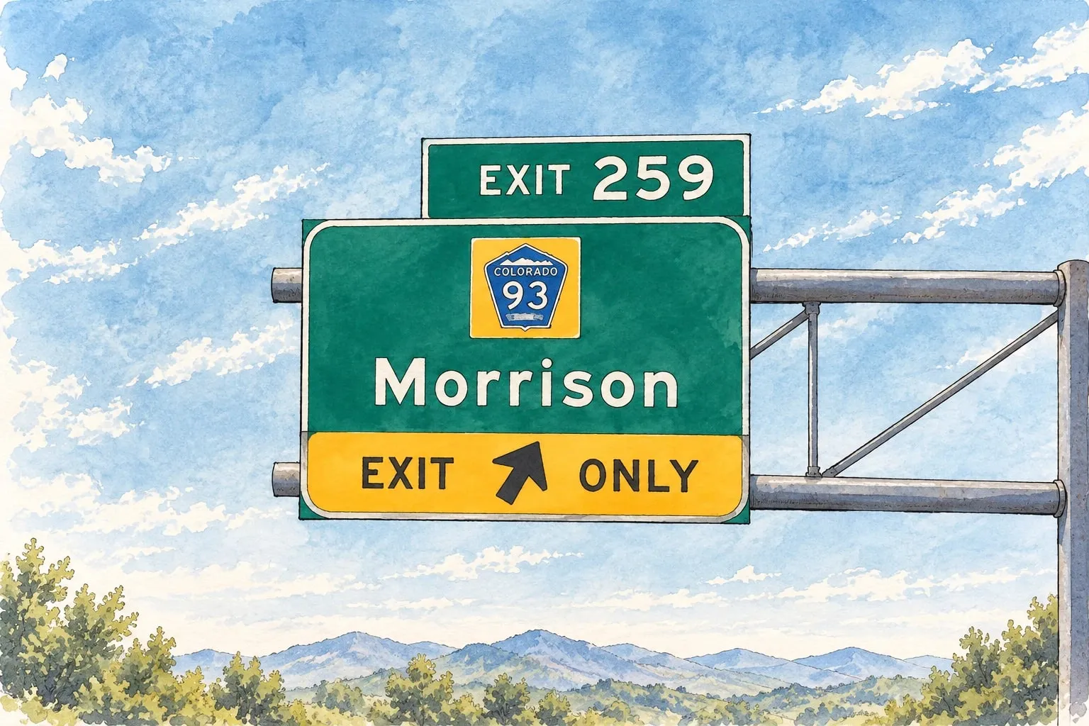 West Metro and Foothills Morrison Red Rocks' hometown: a four-block main street in the canyon and foothill homes in the hills around it.
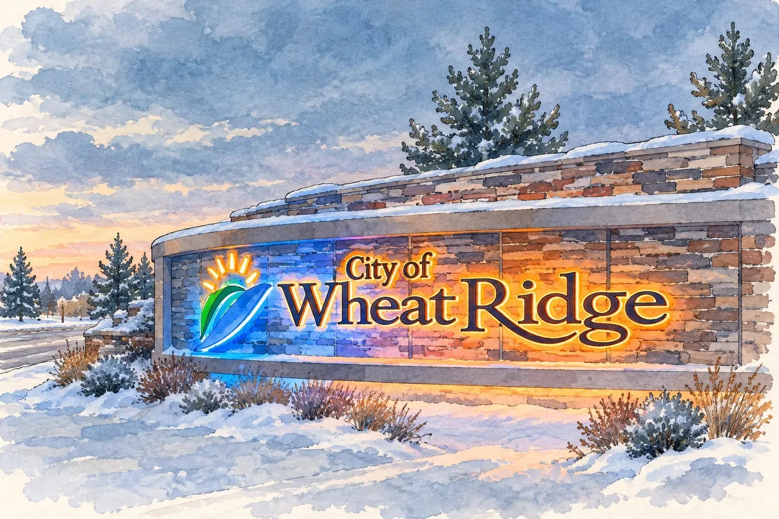 West Metro and Foothills Wheat Ridge Big lots, brick ranches and greenhouses from the carnation days, next door to the Highlands and Berkeley.
Contact
Talk through your plans with a seasoned professional
Let’s build your custom search together.
Geoffry Kaatz
Real Estate Consultant and Licensed Realtor


303-517-9671
geoffry.kaatz@compass.com
200 Columbine St, Suite 500
Denver, CO 80206